Georges Heights & Middle Head 04-07-2021
This map was created using GPS Visualizer's do-it-yourself geographic utilities.
Please wait while the map data loads...
Route: Marham Close, Rawson Oval, Georges Heights, Middle Head Road, 1801 Fort, Middle Head Fort, Old Fort Road, Governors Road, Middle Head Road
Date: 04/07/2021
From: Georges Heights
Parking: Middle Head Road
Start Point: Rawson Oval
Finish Point: Middle Head Road
Region: Sydney Harbour National park
Route length: 5.8km
Time taken: 02:02
Average speed: 3.6km/h
Ascent: 127m
Descent: 113m
Points of Interest: Georges Heights, 1801 Fort, Middle Head Fort
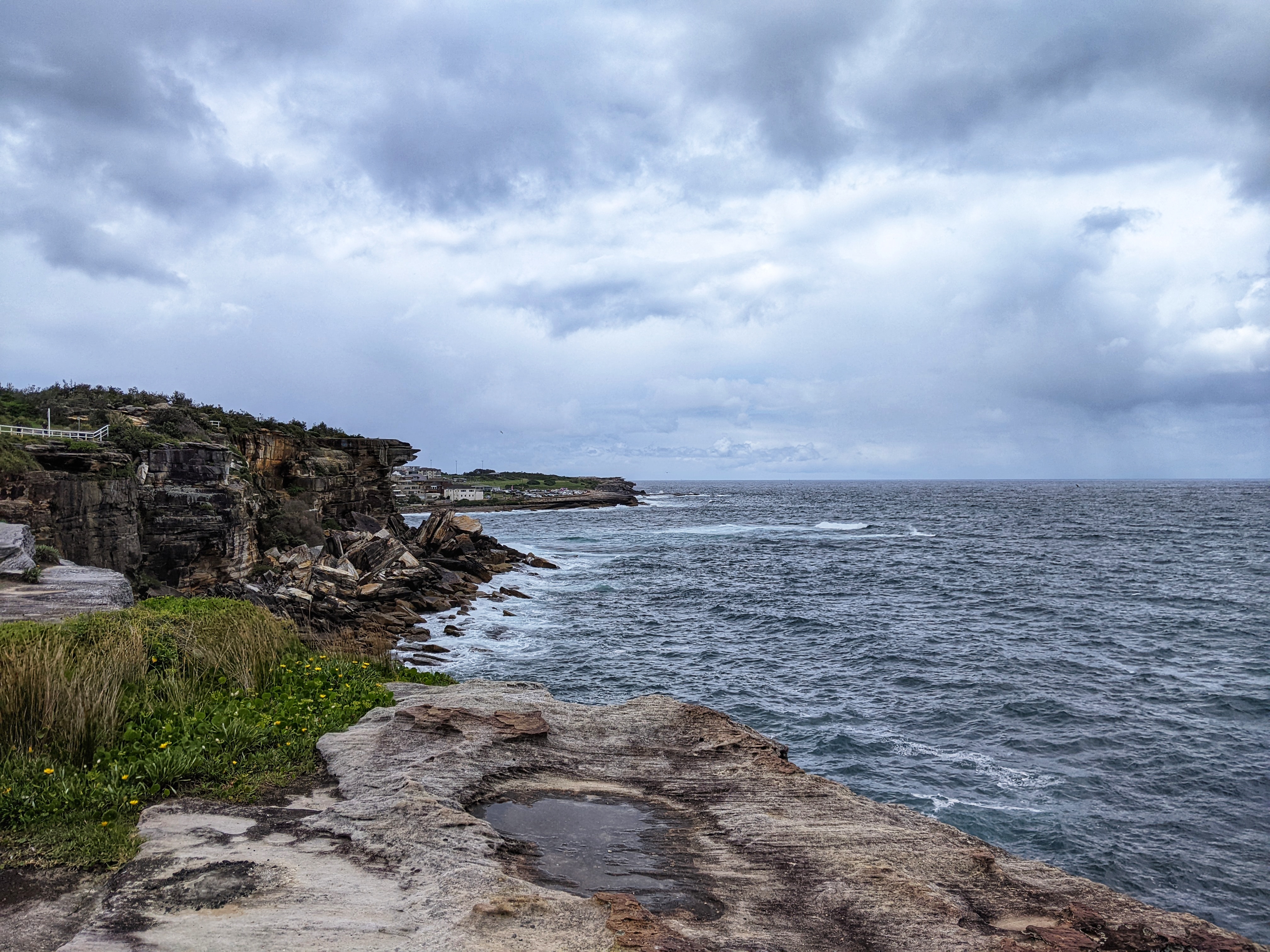
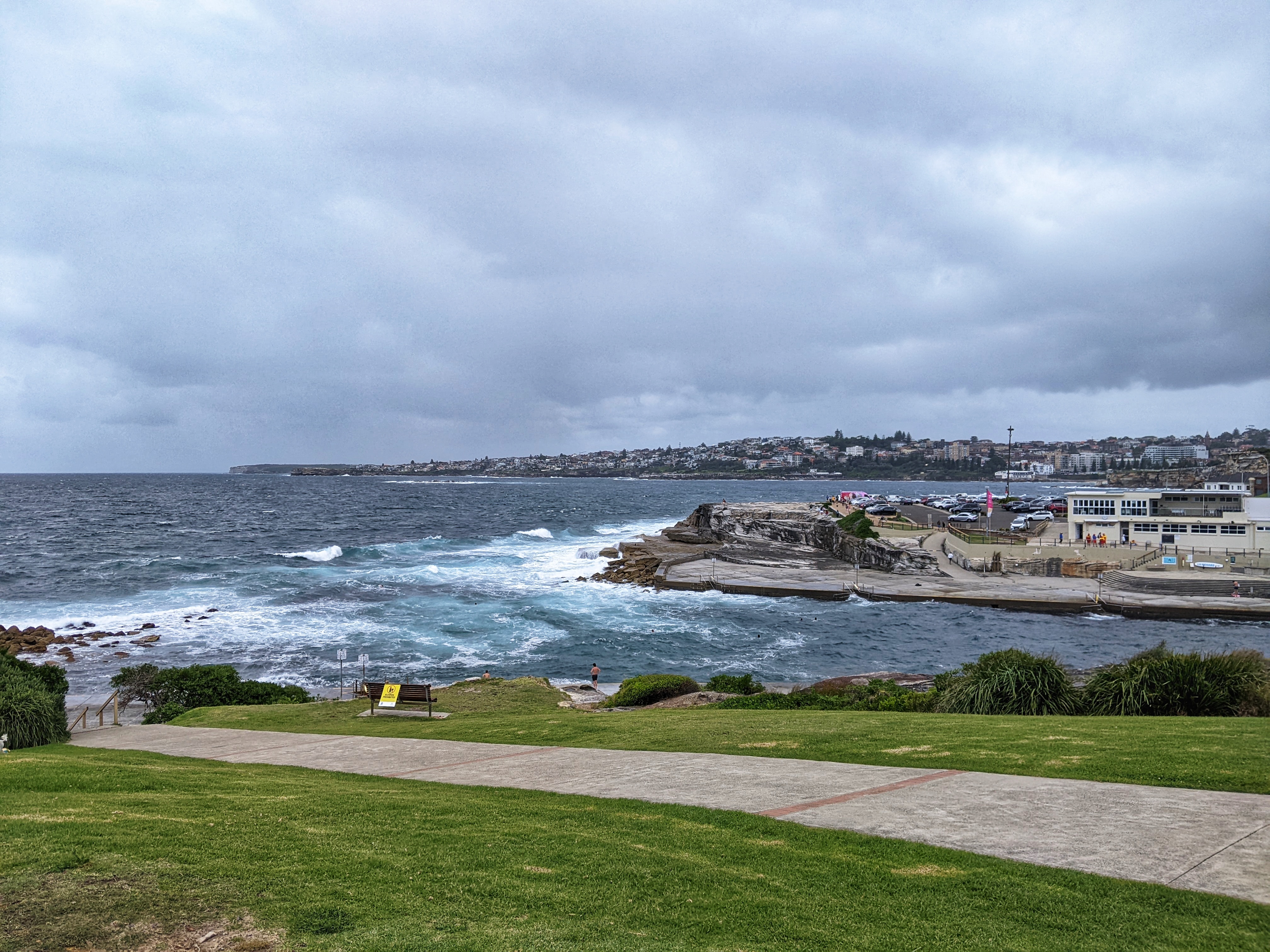
With Sydney back in lockdown, our hiking has been temporarily restricted to the limits of the Greater Sydney area. Fortunately, Sydney's extensive coastline is a superb place to explore and well within our range. We chose to return to some familiar ground on the north side of the harbour, specifically Georges Heights and Middle Head.
After parking on Middle Head Road, we made our way along Markam Close into Rawson Park where there are several tracks that lead to the fringes of the Georges Heights barracks complex. The outermost track is dotted with lookouts that have good views of the harbour and it leads to the main artillery emplacement at Georges Heights.
 |
| Accessing the track at Rawson Park |
 |
| Heading along the track towards Georges Heights |
 |
| A view of Shark Island with Rose Bay beyond |
The heights are home to the historic fortifications that formed the 'outer line' of defence for Sydney Harbour. The outer line consisted of a series of gun batteries designed so that soldiers could fire upon enemy ships trying to enter the harbour. The Georges Head Battery formed part of this 'outer line' with construction taking place in 1871.
 |
| Heading for Georges Heights |
 |
| Bush track at Georges Heights |
 |
| Rose Bay |
 |
| Shark Beach and Steele Point |
 |
| Georges Heights |
Now, the current lookout is located at the former site of the A84 Battery. It originally housed six guns in open circular pits connected to an underground magazine by zig-zag passages and tunnels. Views across the harbour are stunning and there is a bronze plaque on the floor that provides a fascinating look at the various Sydney harbour defences.
 |
| The map of Port Jackson (Sydney Harbour) defences |
Between 1916 and 1921, a large military hospital operated at Georges Heights, providing care to soldiers injured on the Western Front during the Great War. Known as the Hospital on the Hill, this heritage building today serves as the headquarters of the Sydney Harbour Trust but was occupied by the Australian Army until 2002.
There is a track that links Georges Heights to Middle Head Road, sandwiched between Headland Park and Sydney Harbour National Park. It is dotted with fine viewpoints looking over Middle Head before it reaches HMAS Penguin, the current Royal Australian Navy training establishment (unsurprisingly, there is no public access here).
 |
| Chowder Bay |
 |
| Chowder Head and Bradleys Head |
 |
| The entrance to Sydney Harbour |
 |
| Obelisk Bay and Middle Head |
Avoiding Middle Head Road, we stayed on the track in the national park that leads to the old 1801 fort. The emplacement here is the oldest colonial fortification in Australia. It was hewn by hand out of solid rock using a work gang of 44 convicts, leaving a curved parapet along the cliff edge. It's worth a visit on your way to Middle Head.
 |
| The 1801 fort |
 |
| Camp Cove |
Middle Head is one of the seven Sydney headlands which surround the bay and is an outstanding vantage point, looking directly between the north and south heads to the Pacific Ocean. No wonder there is a significant number of historic gun emplacements located here.
 |
| Middle Head |
 |
| Grotto Point lighthouse |
 |
| Middle Head |
 |
| A view of North Head |
The 1801 fort was the first defence built at Middle Head and the last batteries were constructed in 1942 though the majority of the fortifications were built between 1870 and 1910. The site contains the works of several periods and technologies, which remain in place today. Historically, it dates from the time when the defence was first moved away from Sydney Cove and towards The Heads - the outer arms of Sydney Harbour.
 |
| Middle Head fort |
 |
| Middle Head fort |
 |
| The Sydney headlands |
Rooms located below ground were used to train some of Australia's first troops who were sent to Vietnam in 'Code of Conduct' courses, which were lessons in how to withstand torture and interrogation, by simulating prisoner of war conditions.
 |
| The tiger cages |
On the second day of each two-week intelligence course, fifteen soldiers would burst into the lecture room firing blanks and throwing thunder-flashes to create noise, smoke and confusion. They would blindfold the students with pillowcases, frogmarch them to covered vehicles, drive them around erratically for a while, and then herd them into one of the underground chambers of the old gun emplacements.
 |
| Middle Head fort |
 |
| Middle Head fort |
They were exposed to 80 hours of unnerving experiences intended to simulate what it was through might happen if captured by the Chinese or Koreans. This included solitary confinement in total darkness, the playing of loud Asian music and periodic interrogation. The prisoners were held in the tiger cages at least once during their ordeal. The tiger cages are still there, a reminder of the bizarre military conduct that once took place there.
We wandered around the remnants of the fort before retracing our steps back to HMAS Penguin and Middle Head Road and a short, uphill hike back to the car.
 |
| Middle Harbour |
 |
| The path back towards Georges Heights |
 |
| Sydney red gums |