Devils Hole 11-07-2020
This map was created using GPS Visualizer's do-it-yourself geographic utilities.
Please wait while the map data loads...
Route: Cahills Lookout, Cliff Drive, Cliff Track, Norths Lookout, Six Foot Track, Nellies Glen, Megalong Creek, Water Board Road, Devil's Hole Track, Devil's Hole, Cliff Drive
Date: 11/07/2020
From: Cahills Lookout
Parking: Cahills Lookout
Start Point: Cahills Lookout
Finish Point: Cliff Drive
Region: Blue Mountains National Park
Route length: 6.6 miles (10.6km)
Time taken: 03:28
Average speed: 2.3 mph
Ascent: 699m
Descent: 705m
Points of Interest: Cahills Lookout, Norths Lookout, Six Foot Track, Devil's Hole
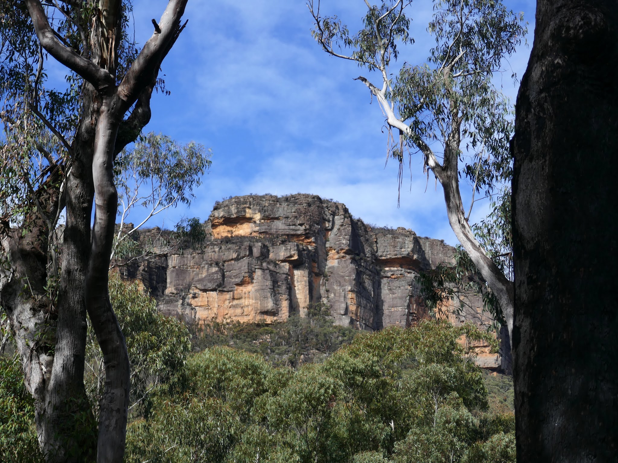
Several long-distance tracks crisscross the Blue Mountains, one of those being the Six Foot Track. The track was originally built as a bridle trail in 1884 and was planned as a shortcut to Jenolan Caves, a nearby tourist attraction. Now the 44km route is used by hikers, typically completing the distance over three days. While I wouldn't be walking the entire thing, I'd be using the first steep section leaving Katoomba as a means to reach the bottom of the Devil's Hole, an impressive and accessible cleft in the sandstone cliffs.
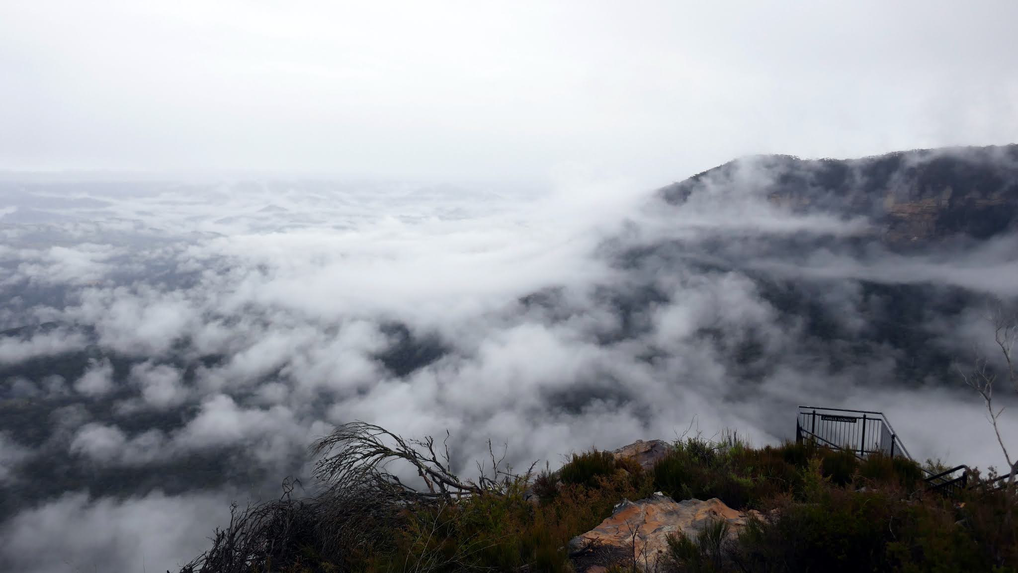
The obvious starting point for this circuit is the car park at Cahill's Lookout, named after a Labor Party Premier in the 1950s (John Joseph Cahill was responsible for the approval of the construction of the Sydney Opera House). The lookout is one of the best in the national park, though often overlooked, meaning it's quieter than the more popular sites at Lincoln's Rock and Echo Point. After driving through the rain from Sydney, I was greeted by a remarkable sight.
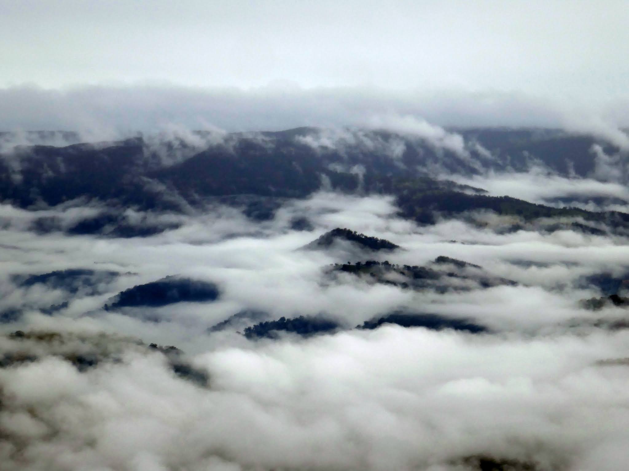
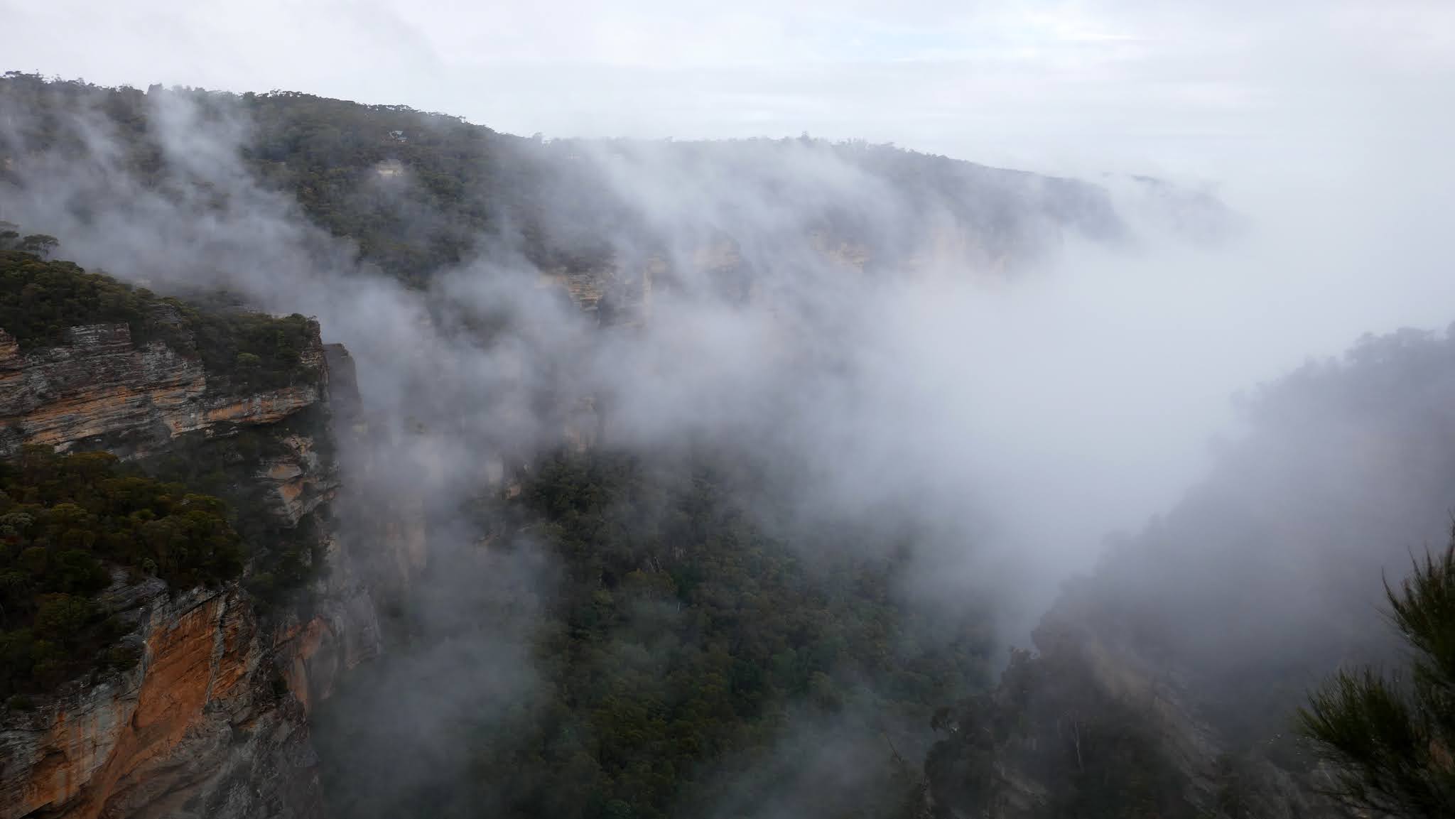
The lookout overlooks the Megalong Valley which, this particular morning, was filled with the remnants of the early morning mist and rain, lapping up against the tall Hawkesbury Sandstone cliffs. It's one reason I love the Blue Mountains - you never quite know what to expect.
 |
| The majestic Cahills Lookout and its commanding view of the Megalong Valley |
 |
| The Megalong Valley from Cahills Lookout |
 |
| Islands of land emerge amidst the mist |
 |
| Clouds swirl up against the Narrowneck Plateau |
 |
| The Narrowneck Plateau juts out into the valley |
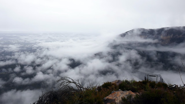 |
| Cahills Lookout |
Despite the spectacle, I had a walk to do so, reluctantly, set off on my way, heading along the streets of Katoomba suburbia to find the Cliff Walk track (which, despite its name, rarely involves any cliffs). The track does a quick trip through the bush at the head of Megalong Creek, crossing the stream before reaching Norths Lookout. The lookout peers down the Nellies Glen canyon where Six Foot Track disappears, though much of it was still filled with cloud.
 |
| The scenic Cliff Drive |
 |
| Cliff Walk |
 |
| Cliff Walk |
 |
| Megalong Creek |
 |
| Cliff Walk |
 |
| Norths Lookout |
 |
| Nellies Glen Canyon - home of the Six Foot Track |
 |
| Norths Lookout |
The beginning of the Six Foot Track is close to Norths Lookout. Initially, a wide fire trail slopes downhill, punctuated by warning signs about the steep descent approaching. The track passes through a wooden chicane, presumably designed to keep larger modes of transport out. However, I'm not sure what could tackle the steep wooden steps that descend the canyon.
 |
| The Six Foot Track junction at Norths Lookout |
 |
| The top of the Six Foot Track |
 |
| Six Foot Track descends steeply down a set of wooden steps |
 |
| View back up the Six Foot Track steps |
 |
| Six Foot Track descends into Nellies Glen |
 |
| Six Foot Track |
 |
| Megalong Creek |
 |
| Six Foot Track |
 |
| Entering Nellies Glen |
The steps of the Six Foot Track descend some 200m down into Nellies Glen, following the course of Megalong Creek. After crossing the creek and escaping the confines of the canyon the scenery begins to open up slightly as you reach Nellies Glen.
 |
| The Six Foot Track fire trail |
Six Foot Track continues as a wide fire trail which, in truth, is a little dull as most of the views of the cliffs are hidden behind the trees. That said, from a UK perspective the Australian bush still feels like a very different place to, say, a Pennine moor. After a while, I reached the old Water Board Road which serves as a means of reaching Devil's Hole.
 |
| Water Board Road - the sign refers to an old access route up the cliffs, which has been removed |
 |
| Cliffs of Narrowneck Plateau |
 |
| Water Board Road |
 |
| Narrowneck Plateau |
The Devil's Hole Track leaves from the old Water Board Road. Blink and you'll miss it - it's marked by a mossy cairn low to the ground. This is part of the walk I was a little apprehensive about as the Devil's Hole Track is largely unmarked and constitutes around 1km of bushwalking before reaching the base of the cliffs. I needn't have worried though as the path is pretty easy to follow as it weaves through the trees to Devil's Hole Creek.
 |
| A cairn marks the point where the Devil's Hole Track leads off into the bush |
 |
| Devil's Hole Track |
 |
| Devil's Hole Creek |
 |
| Banksia |
After crossing the creek the path begins to climb. The gradient isn't too bad to begin with but it does become very steep as it heads towards the base of the cliffs (unseen due to the trees and bushes). It's a very quick way to work up a sweat and is best avoided during the summer. Just as things seem that they couldn't get any steeper, the path reaches the base of Devil's Hole.
 |
| Devil's Hole Track climbs steeply |
 |
| Devil's Hole Track |
 |
| Devil's Hole Track |
 |
A sign marks the bottom of the crevice (with a handy addition)
|
 |
| The bottom of Devil's Hole |
 |
Climbing Devil's Hole
|
 |
The towering cliffs of Devil's Hole
|
 |
Ascending the canyon
|
 |
Looking back down the canyon
|
 |
Devil's Hole
|
 |
| The large chockstone in Devil's Hole |
 |
| The top of the canyon |
There is no right or wrong way to climb the canyon and, after passing beneath a large chockstone wedged in the cliffs, the gradient eases as you emerge from the canyon into the bush once again. After a more gentle climb away from the canyon, the path emerges on Cliff Drive a short distance from Cahills Lookout. |
Eucalyptus trees
|
 |
The top of the Devil's Hole Track at Cliff Drive
|
I made my way back to the lookout now that the clouds had cleared, revealing the expanse of the Megalong Valley, however, my eyes were drawn towards Narrowneck Plateau which separates Megalong from the more famous area below Katoomba. It appeared that the clouds were still lingering in the valley which gave me an opportunity to see a famous sight. I hopped in the car and sped (under the speed limit) to Echo Point and the Three Sisters.
 |
Megalong Valley
|
 |
Boars Head
|
 |
Megalong Valley
|
Luckily, I managed to park close to the visitor centre at Echo Point, which is home to the Queen Elizabeth Lookout. Normally, Echo Point is a very busy place. Most (if not all) of the tours from Sydney coincide at this location and disgorge hundreds of daily passengers. The view of the Three Sisters from the lookout is the defining image of the Blue Mountains and one which would be hard to repeat today.
The photos below capture the amazing spectacle of a cloud inversion in the Jamison Valley.
 |
Clouds fill the Kedumba Valley
|
 |
The Three Sisters
|
 |
The sensational panorama from Echo Point
|
 |
| The Echo Point Lookout from the adjacent Spooners Lookout |
 |
My timing was lucky, the clouds started to break not long after I arrived
|