Mount Banks 18-08-2024
This map was created using GPS Visualizer's do-it-yourself geographic utilities.
Please wait while the map data loads...
Route: Mount Banks picnic area, Mount Banks One Trail, Banks Wall, Mount Banks Road Extension, Frank Hurley Head, Mount Banks, Mount Banks picnic area
Date: 18/08/2024
From: Mount Banks Road
Parking: Mount Banks Road
Start Point: Mount Banks picnic area
Finish Point: Mount Banks picnic area
Region: Blue Mountains
Route length: 12.5 km
Time taken: 03:25
Average speed: 4.5 km/h
Ascent: 437m
Descent: 435m
Points of Interest: Frank Hurley Head, Mount Banks
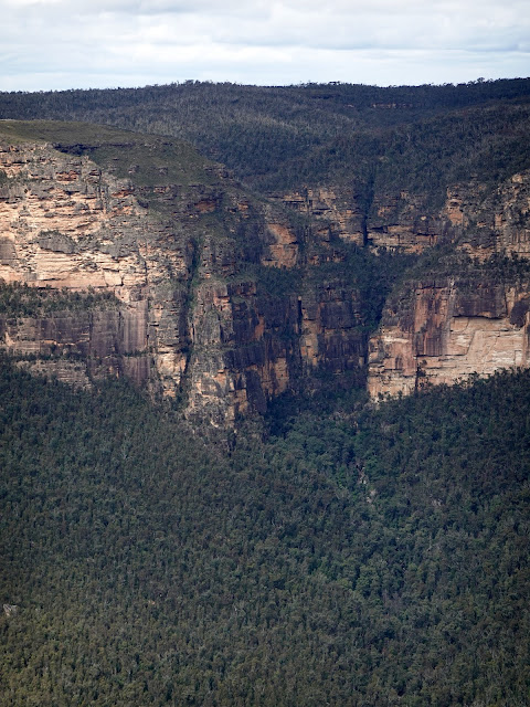
Mount Banks dominates the background views of the Grose Valley, particularly if you visit the popular lookouts near Blackheath. Its distinctive domed shape is its defining feature, resulting from ancient volcanic lava flows forming a tough layer of basalt overlying the surrounding sandstone.
A track leading to the summit of Mount Banks can be found in the quieter northern area of the Blue Mountains. It is accessed along a short unsealed road branching off Bells Line of Road (the unusual name stems from the fact that the route was surveyed by Archibald Bell in 1823—it is Bells Line of Road).
At the base of Mount Banks, there’s a small parking area where a gate restricts vehicle access to a fire trail. This trail, known as the Mount Banks One Trail, creates a route around the base of Mount Banks to Frank Hurley Head. The trail meanders pleasantly for 2.5 km through the high Eucalyptus bushland of the Blue Mountains, passing a sign indicating the route to Mount Banks’ summit — I'd be returning this way later in the day.
 |
| The Mount Banks One Trail |
 |
| Entering the Grose Wilderness |
 |
| Mount Banks |
 |
| The summit track — to be tackled later |
 |
| The rim of Banks Wall |
 |
| Mount Banks Road |
 |
| Approaching Frank Hurley Head |
 |
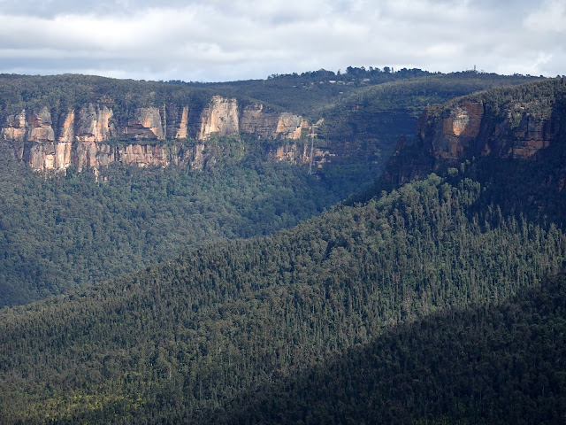
| Lockleys Pylon and Fortress Ridge |
 |
| Grose River |
 |
| Butterbox Point |
 |
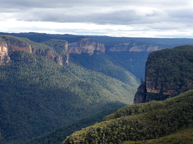
| Grose Valley |
 |
| Edgeworth David Head |
After savouring the views, I retraced my route back along the fire trail to the sign I mentioned earlier, beginning the climb to the summit of Mount Banks. This route back gives you an interesting view of Mount Banks itself, as well as that sensational panorama over the Grose Valley.
 |
| The interesting face of Mount Banks |
 |
| Mount Banks Fire Trail |
Mount Banks is part of the Explorers Range, which forms the northern arm of the Grose Valley. Many of the peaks along this ridge are named after the renowned explorers who documented the range in the 1800s. Standing at over 1,000m, Mount Banks is no small peak, yet the total ascent to the summit is relatively modest, around 150m.
 |
| Climbing Banks Ridge |
 |
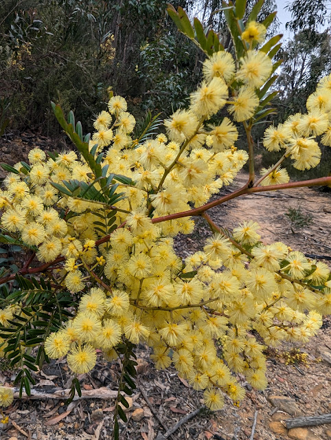
| You'll glimpse some views through the trees |
 |
| Golden Wattle |
 |
| Banks Ridge |
The mountain was named after Sir Joseph Banks by George Caley, an English botanist and explorer who was the first European settler to reach the summit of Mount Banks in 1804. Joseph Banks, an English naturalist and botanist, had employed George Caley as a botanical collector in New South Wales at the end of the 18th century.
After the climb, you’ll reach the summit marked by a trig pillar with a metal ‘lollipop’ on top, although the views are obscured by trees. The basalt at the summit creates fertile soil that supports rich vegetation, distinct from other parts of the Blue Mountains, hence the dense vegetation on the summit.
 |
| Mount Banks |
 |
| Mount Banks |
 |
| Dense vegetation caps the summit |
A path departs from the summit heading north, initially traversing the slopes near the hilltop before descending towards the parking area. As the trees thin out, the path offers sweeping views of the Greater Blue Mountains wilderness on the way down to the car park.


No comments :
Post a Comment