This map was created using GPS Visualizer's do-it-yourself geographic utilities.
Please wait while the map data loads...
Route: Hat Hill, Bald Head Ridge, Bald Head, Bald Head Ridge, Bennett Gully, Hat Hill engraving site
Date: 28/07/2024
From: Perrys Lookdown Road
From: Perrys Lookdown Road
Parking: Perrys Lookdown Road
Start Point: Hat Hill
Finish Point: Hat Hill engraving site
Region: Blue Mountains National Park
Start Point: Hat Hill
Finish Point: Hat Hill engraving site
Region: Blue Mountains National Park
Route length: 7.1 km
Time taken: 02:13
Average speed: 4.0 km/h
Ascent: 324m
Descent: 324m
Time taken: 02:13
Average speed: 4.0 km/h
Ascent: 324m
Descent: 324m
Points of Interest: Bald Head, Hat Hill engraving site
Several named 'heads' ring the wild Grose Valley in the Blue Mountains, including the Norse-inspired Asgard Head and Thors Head, Burra Korain Head and Docker Head. The terminus of each can be reached via out-and-back trails that begin around Blackheath. Each has its own sweeping view of the tall sandstone cliffs and deep valley of the Grose River and Bald Head; the objective, for this hike, is no different.
The hike starts at the beginning of Perrys Lookdown Road, adjacent to Hat Hill. A small gravel parking area near the Blue Mountains sign can accommodate a few cars. While the path is obvious, there are no signs indicating where it leads, other than that it points directly towards Hat Hill. While it does climb toward the hill, it avoids the summit and makes its way around the west side.
Hat Hill is the highest part of the Blackheath Plateau and has expansive views across the surrounding hills and valleys. It is also home to Hen and Chicken Rock which, when viewed from a certain angle, looks like a pair of chickens back to back (though I missed the particular vantage point this time). The path passes right by it, and you can clamber on top for a look around.
For years, Hat Hill was home to William Andrew Murphy – the Hermit of Hat Hill – who lived there in a hut he constructed (nothing remains today).
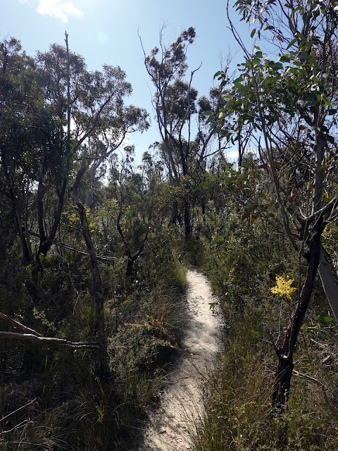
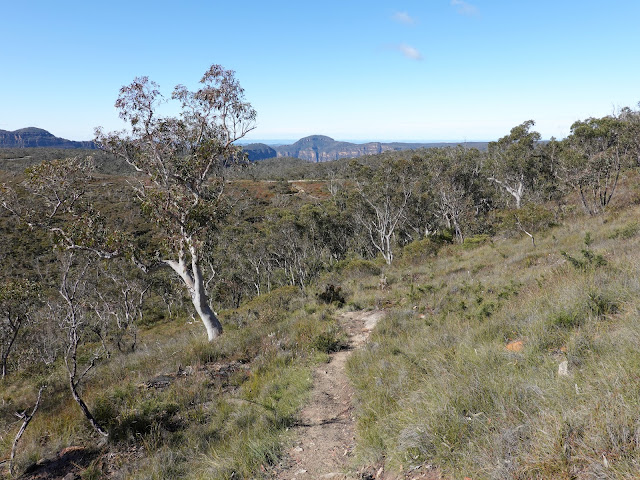
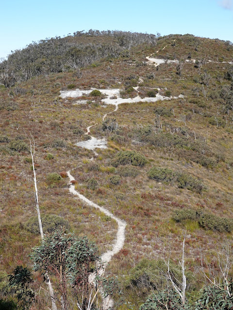
From Hen and Chicken Rock, you will see the path to Bald Head extending into the distance, following the ridge’s broad crest. It’s easy to follow as the track crosses a small hill, revealing another hill ahead. Beyond the second ridge-top hill, there’s a rock platform above a small gully. The elevated spot has a view to the west, comprising the cliffs above Hat Hill Creek and the even taller cliffs near Walls Lookout and Rigby Hill.
 |
| The path along the ridge to Bald Head |
 |
| Hat Hill canyon |
 |
| The path along Bald Head ridge is easy to follow |
 |
| Golden Wattle |
 |
| Entering a small stand of trees |
 |
| Hat Hill Creek |
 |
| The walls of Hat Hill Canyon |
 |
| The rock platform close to Bald Head |
Until this point, the path is fairly level and not particularly taxing; however, the final stretch has a bit of a sting in its tail, with the track descending steeply into a gully before climbing back up to Bald Head. As you navigate this section, you’ll be rewarded with more views of the towering sandstone cliffs above the Grose Valley, glimpsed through the trees.
 |
| The final path to the edge of the cliffs |
As the track nears the summit of Bald Head, it splits, offering access to two distinct vantage points. The eastern edge has a sensational panorama, with a direct view down the Grose Valley westwards towards Burra Korain. From here, you can see the impressive line of cliffs stretching from Liversidge Hill to Walls Lookout. There is also a 'front on' view of Hanging Rock, nestled beneath Burramoko Head.
 |
| The western aspect from Bald Head |
 |
| The famed Hanging Rock seen from a different angle |
 |
| The full view of the Grose Valley |
 |
| Burramoko Head and the walls of Burra Korain |
The view to the east follows the Blackheath Walls to Mount Banks, Wongarra Hill and the deep incision of Banks Gully.
After savouring the view for a while, the return is back along the same track, retracing the route towards Hat Hill. After around 2.2 km, you'll see a path heading off to the left towards Bennett Gully. This offers the chance to see the Hat Hill Aboriginal engravings, which are highly recommended.
The Aboriginal engravings, located at the head of Bennett Gully below Hat Hill, really must be seen. The engraving site is located on an isolated rock platform, next to the road. Once you find it, you should be able to find the emu or bird's feet along with several axe-griding grooves.
 |
| The path around Bennett Gully |
 |
| Emu or bird feet engravings |
 |
| A detailed look at the bird's feet engravings |
 |
| Axe-grinding grooves |
From the engraving site, it's a short uphill walk along the Perrys Lookdown Road to the parking area.
Perrys Lookdown itself is definitely worth a visit for a fresh perspective of Mount Banks from the lookouts atop Docker Head. Additionally, the car park here serves as a starting point for longer, more challenging hikes into the Grose Valley, which lies several hundred metres below.


No comments :
Post a Comment