Fortress Ridge & Dr Darks Cave 29-01-2022
This map was created using GPS Visualizer's do-it-yourself geographic utilities.
Please wait while the map data loads...
Route: Mount Hay Road, Fortress Rock Lookout, Dr Darks Cave, Fortress Ridge Trail, Fortress Hill, Fortress Rock Lookout, Fortress Canyon, Fortress Ridge Trail
Date: 29/01/2022
From: Mount Hay Road
Parking: Mount Hay Road
Start Point: Mount Hay Road
Finish Point: Mount Hay Road
Region: Blue Mountains
Route length: 11.2km
Time taken: 04:30
Average speed: 2.4km/h
Ascent: 545m
Descent: 543m
Points of Interest: Fortress Rock, Dr Darks Cave, Fortress Ridge, Fortress Canyon
Fortress Ridge is one of several dramatic ridges that reach out into the heart of the Grose Valley. Others include Lockley's Pylon or Butterbox Point. It can be accessed from the infamous Mount Hay Road and provides a vantage point to the impressive cliffs and canyons of the Blue Mountains' northern valley. Mount Hay Road is notorious - it is a long, unsealed road that delves deep into the heart of the wild Blue Mountains.
Occasionally Mount Hay Road gets re-graded and is passable in a 2WD car. Now, however, summer rains have created deep ruts, channels and potholes which need a high-clearance vehicle to negotiate. Fortunately, I have a friend who owns just such a car.
We set off from Sydney early, arriving in time to catch a cloud inversion at Wentworth Falls and grab some provisions from a local supermarket, before tackling Mount Hay Road to claim our spot at the Fortress Ridge trailhead. As with other hikes from Mount Hay Road, the route along Fortress Ridge is an out-and-back affair, with an added bonus of a side trip to Dr Darks Cave - more in a moment.
 |
| The track to Fortress Ridge |
 |
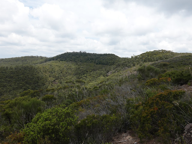
| Fortress Ridge |
We set off along the trail from the parking area, immediately climbing a low rise before the track levels out. Only 500m later is a fork in the trail - we headed left towards Fortress Rock Lookout. The lookout is less than 1km from the fork along a well-blazed trail, though the last few metres involve descending a slope as the path gets smaller and smaller. It ends at the rim of the cliffs at Fortress Rock.
 |
| Views of the nearby cliffs soon accompany you as you head towards Fortress Rock |
 |
| The path leading to Fortress Rock |
 |
| The Carne Wall |
The view from Fortress Rock is outstanding, getting you up close to the imposing sandstone walls of Arethusa Canyon as well as a distant view around the head of the Grose Valley.
 |
| A close-up of the Carne Wall |
 |
| Panorama from Fortress Rock |
 |
| Arethusa Canyon |
 |
| Govetts Creek flows into the Grose Valley |
 |
| Arethusa Canyon and the Carne Wall |
 |
| The Carne Wall |
 |
| Looking along the length of Fortress Ridge |
We returned from the lookout, climbing back to the top of the hill. A short distance back along the trail is where you will find another, smaller path branching off to the left. This is the path that will take you to Dr Darks Cave. A word of warning - the path down to the cave is quite steep in places and the route is one way - what goes down, must come back up again.
After a steep descent, the path reaches a creek and follows it downhill further. It's quite an adventurous trail and you may end up with wet feet. Before long, you will reach a short scramble up to a large sandstone ledge that has a fine view of the valley below Fortress Rock. A short distance further along the ledge is Dr Darks Cave.
 |
| Descending into the creek valley |
 |
| The path follows the creek for a short distance |
 |
| Following the creek downstream |
 |
| A short scramble is necessary to reach a wide, covered ledge |
 |
| The ledge leading to Dr Darks Cave |
 |
| The view of the cliffs from the ledge |
Local Katoomba Doctor Eric Dark reportedly found the cave in 1937 and later used it as a private family retreat. While not a true cave (it is a large overhang) it is dry and makes the perfect spot to hang out. The cave was set up with some sleeping and cooking equipment and remains much the same today, except for a log book being added inside an old backgammon case.
 |
| Entering Dr Darks Cave |
 |
| The items left in the cave |
 |
| Only a handful of the backgammon pieces remain |
 |
| Pots and pans over a fire pit |
 |
| An ancient tin of beans |
 |
| Dr Darks Cave - the red item is an old sleeping bag |
 |
| The waterfall at the back of the cave |
After exploring the cave we retraced our steps along the creek and back uphill to the ridge. It's a tough little climb with a couple of short scrambles thrown in for good measure. After reaching the ridge top once again, we followed the main path back to the Fortress Ridge Trail.
 |
| Deep below the Blue Mountains cliffs |
 |
| The small creek that leads to and from the cave |









No comments :
Post a Comment