This map was created using GPS Visualizer's do-it-yourself geographic utilities.
Please wait while the map data loads...
Route: Keswick, Lakeside Theatre, Landing Stages, Friar's Crag, The Ings, Stable Hills, Calfclose Bay, Barrow Bay, Strutta Wood, Lodore Falls, Cannon Dub, Chinese Bridge, Manesty Park, Bradnelhow Bay, Brandelhow Park, Hawse End, Derwent Bay, Silver Hill, Fawe Park, Portinscale, The Howrahs
Date: 14/04/2022
From: Keswick
Parking: N/A
Start Point: Keswick Landing Stages
Region: Lake District National Park - Northern / Central Fells
Route length: 16.1km
Time taken: 05:48
Average speed: 4.2km/h
Ascent: 212m
Descent: 218m
Wainwrights on this walk:
None
Other Summits: None
Other points of interest: Friar's Crag, Centenary Stone, Lodore Falls, Chinese Bridge
We've recently been visiting the UK from Australia, for the first time since COVID (that's over two years without seeing family!). Our flying visit to the mother country would never have been complete without a hike in the Lake District. We chose the superb circuit of Derwentwater to cater for several abilities of hikers, rather than dragging anyone into the high fells (plus the weather wasn't great). The picturesque lake south of Keswick forms the backdrop to many a professional photographer's snaps and likely adorns many household walls.
Staying in Keswick allowed us to leave the car parked up for the day and hike straight from the B&B. After a brief pitstop to get some lunch (for later), we joined the crowds in Keswick in order to reach the lakeside theatre and the footpath that hugs the shoreline, our route to Lodore Falls at the southern end.
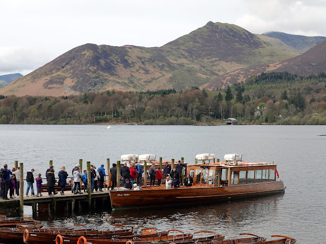
The path passes the landing stages where the Keswick Launch Company operate an annual ferry that makes a number of stops at several places along the shoreline, an option if you feel that the full circuit isn't quite for you. Beyond the landing stage is Friar's Crag, a prominent lookout that offers fine views towards Catbells on the opposite shoreline.
 |
| Loading the Keswick Launch |
 |
| The boatsheds on Derwent Isle |
 |
| The Catbells ridge seen from Friars Crag |
 |
| The jaws of Borrowdale |
The path rounds The Ings, the marshy outfall of Brockle Beck whose origins are high up on Bleaberry Fell and rounds Stable Hills to Calfclose Bay, one of a number of small inlets that dot the shoreline. At Calfclose Bay you can find the National Trust Centenary Stone, a sculpture commissioned by the National Trust in 1995 to celebrate their founding 100 years earlier. The sculpture is a large boulder, sawn in half with each face and then carved into a series of fans and swirls.
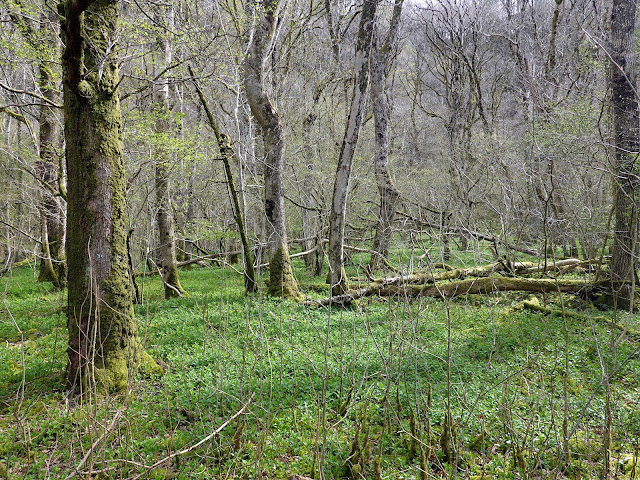
Travelling further south the path hugs the shore as it passes beneath the lower slopes of Walla Crag and to the second landing stage at Barrow Bay. From Barrow Bay, the route passes the Kettlewell car park and delves into Strutta Wood and then Lodore Wood. From here, a well-laid track takes you to the impressive Lodore Falls.
 |
| Causey Pike |
 |
| The Keswick Launch passes beneath Cat Bells |
 |
| Skiddaw |
 |
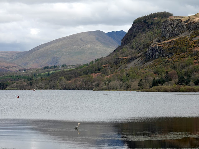
| The crags of Maiden Moor |
 |
| Castle Crag |
 |
| Strutta Wood |
Lodore Falls is an outlet from the picturesque Watendlath Tarn, high up in the hidden hanging valley of Watendlath above. They cascade 30m over a series of outcrops into the Borrowdale Valley and are particularly impressive after a spell of rain - one reason to welcome the Lake District's ever-persistent rain.
You used to be able to pass through the Lodore Falls hotel car park before they blocked it off after building their new luxury spa. Instead, from the falls, it's back to the road, and around the front of the hotel towards the very southern end of Derwentwater at Great Bay. Here, the route crosses the Chinese Bridge, which is so-called because of the shallow arch of the span. The bridge was renovated in 2009 to widen it and uses a large amount of recycled plastic to form the deck.
At the other side of the bridge, the route joins the Cumbria Way and follows it along the west shore towards Portinscale. The wooded path passes several small bays including Myrtle Bay, Abbot's Bay and Brandelhow Bay until it reaches the jetty at High Brandelhow.
 |
| Brandelhow Bay |
 |
| Skegill Bank |
 |
| Derwentwater |
 |
 |
| Hawes End |
Beyond Lingholm is the small village of Portinscale, less than 2.5km from Keswick. There are a few cafes and tearooms if you're looking for a bite to eat.
From Portinscale, the route back to Keswick follows the old main road, crossing the River Derwent via a pedestrian bridge sited where an old stone bridge used to be before it was irreparably damaged by a flood in the 1950s. The final stretch of path between the river and Keswick is through an area known as the Howrahs. The fields were once owned by Edward Stephenson who, despite being born in Keswick, went on to become the governor of Bengal, living near the city of Howrah. From here, it's jus ta short stroll back into the centre of Keswick.
 |
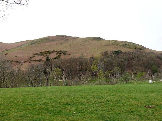
| The green slopes of Latrigg |
 |
| Portinscale |
 |
| Skiddaw |


No comments :
Post a Comment