
This map was created using GPS Visualizer's do-it-yourself geographic utilities.
Please wait while the map data loads...
Route: Wall End, Redacre Gill, Wrynose Fell, Pike O'Blisco, Red Tarn, Cold Pike, Great Knott, Crinkle Crags, Shelter Crags, Three Tarns, Climbers Traverse, Bowfell, Bowfell North Top, Ore Gap, Angle Tarn, Rossett Pass, Mickleden
Date: 15/06/2019
From: Great Langdale
Parking: Great Langdale
Start Point: New Dungeon Ghyll Hotel
Region: Southern Fells
Route length: 11.2 miles (18km)
Time taken: 07:08
Average speed: 1.8mph
Ascent: 1368m
Descent: 1370m
Wainwrights on this walk:
Pike O'Blisco (705m), Cold Pike (701m), Crinkle Crags (859m), Bowfell (902m)
Additional summits: Cold Pike West Top (683m), Cold Pike Far West Top (670m), Great Knott (696m), Crinkle Crags South Top (834m), Gunson Knott (840m), Fourth Crinkle (832m), Fifth Crinkle (822m), Shelter Crags (815m), Bowfell North Top (866m)
Other points of interest: Bad Step, Climbers Traverse
Long summer daylight means you can be flexible with your day, arranging it around the best of the weather. That flexibility would be particularly useful today when heavy rain wasn't forecast to leave the Lakes until late morning. I had a plan in mind to climb the fells enclosing Great Langdale and was confident I'd fit them into a day, even with a late start to avoid the rain. Staying at the campsite at Great Langdale, I even had time to head over to Ambleside for breakfast, sitting in the café waiting for the rain to subside.
 |
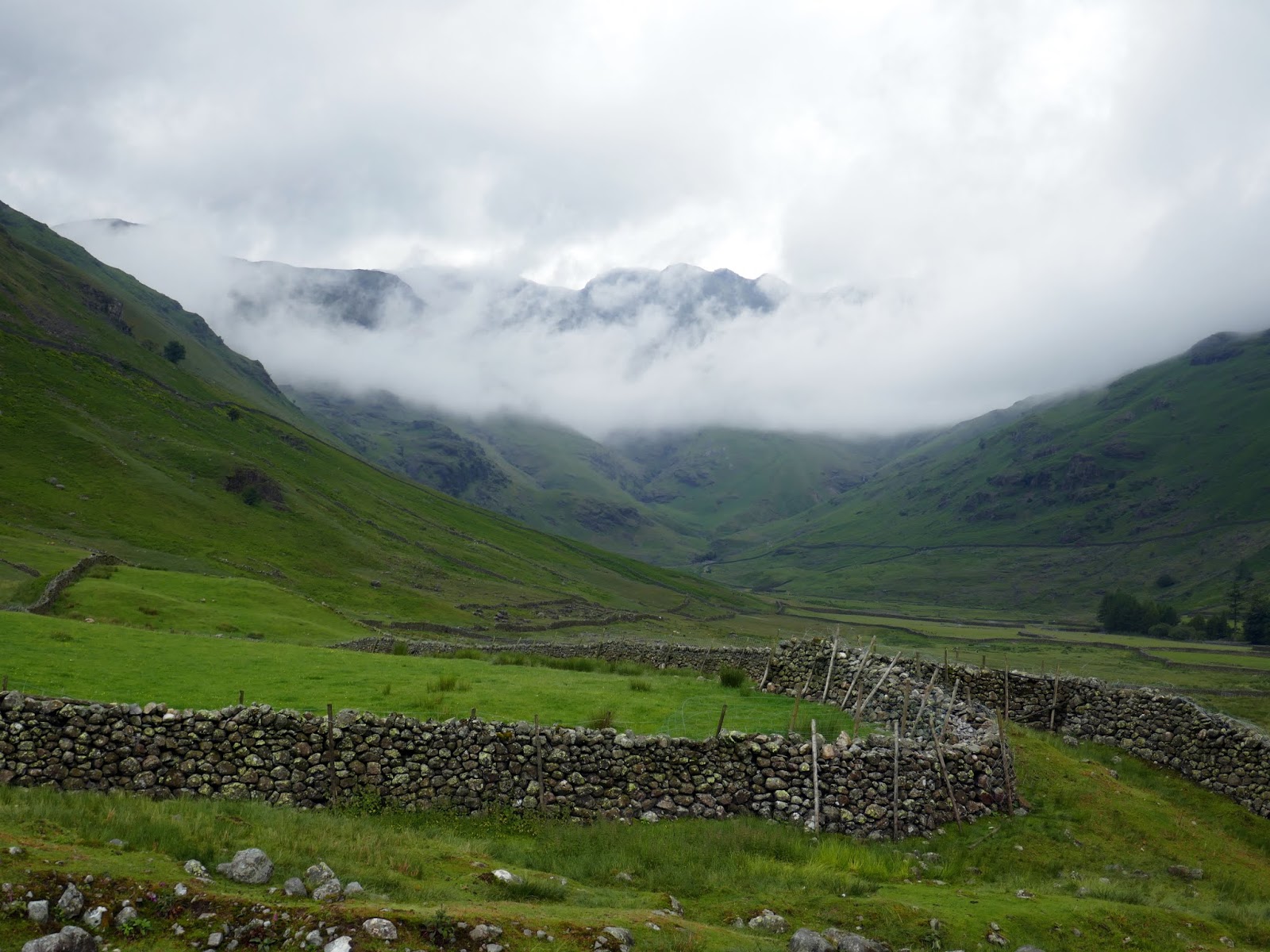
| It was a cloudy morning in Great Langdale |
I set off from the campsite under leaden skies, making my way along the soggy road towards Redacre Gill. The snaking road ultimately leads to Blea Tarn and the pass into Little Langdale but I left it as it crosses the stream, joining a path across the fellside which leads towards Pike O'Blisco, the first peak of the day.
 |
| Redacre Gill |
 |
| Cloud lingers below Crinkle Crags |
 |
| Looking down the road to Mickleden |
 |
| The path along Redacre Gill |
 |
| Crinkle Crags |
 |
| Red Acre Gill and the Langdale Pikes |
 |
| Side Pike and Great Langdale |
 |
| The steeper section to Wrynose Fell |
 |
| Pike O'Blisco |
 |
| Pike O'Blisco |
 |
| Things get a little more interesting towards the top |
 |
| One of the rocky steps en route to the summit |
 |
| Pike O'Blisco's summit |
 |
| A cairn marks the summit |
 |
| Emerging from the clouds |
 |
| Cold Pike |
 |
| Red Tarn |
 |
| Blue skies over the Langdale Pikes |
 |
| The Langdale Pikes |
 |
| Cold Pike |
 |
| A view of the Coniston fells from Cold Pike |
 |
| Cold Pike's West Top |
 |
| The top of Eskdale |
 |
| The Far West Top of Cold Pike |
 |
| Great Knott |
 |
| Crinkle Crags |
 |
| Looking over Great Knott towards Pike O'Blisco |
 |
| The view down to Great Cove |
 |
| The southern Crinkle |
 |
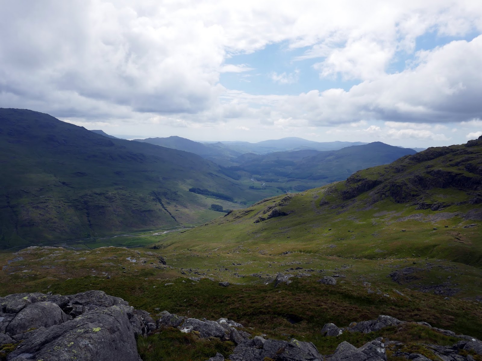
| Oxendale and Great Langdale |
 |
| Long Top - Crinkle Crags' summit |
 |
| The Bad Step |
 |
| The route follows the rock steps to the right |
 |
| Looking down the Bad Step |
 |
| The southern Crinkle |
 |
| Long Top |
 |
| Gunson Knott |
 |
| Mickle Door |
 |
| The southern Crinkle |
 |
| Cairn on Gunson Knott |
 |
| Oxendale |
 |
| Bowfell |
 |
| Bowfell from Three Tarns |
 |
| The Band |
 |
| The beginning of the Climbers Traverse |
 |
| The Climbers Traverse |
 |
| Mickeden |
 |
| The Climbers Traverse |
 |
| Bowfell Buttress |
 |
| Great Langdale |
 |
| Rossett Pike |
 |
| Lingmoor Fell and a distant Windermere |
 |
| The boulders alongside the Great Slab |
 |
| Looking down the boulders |
 |
| The Great Slab |
 |
| The Great Slab |
 |
| The final climb to Bowfell's summit |
 |
| Bowfell's summit |
 |
| Esk Pike |
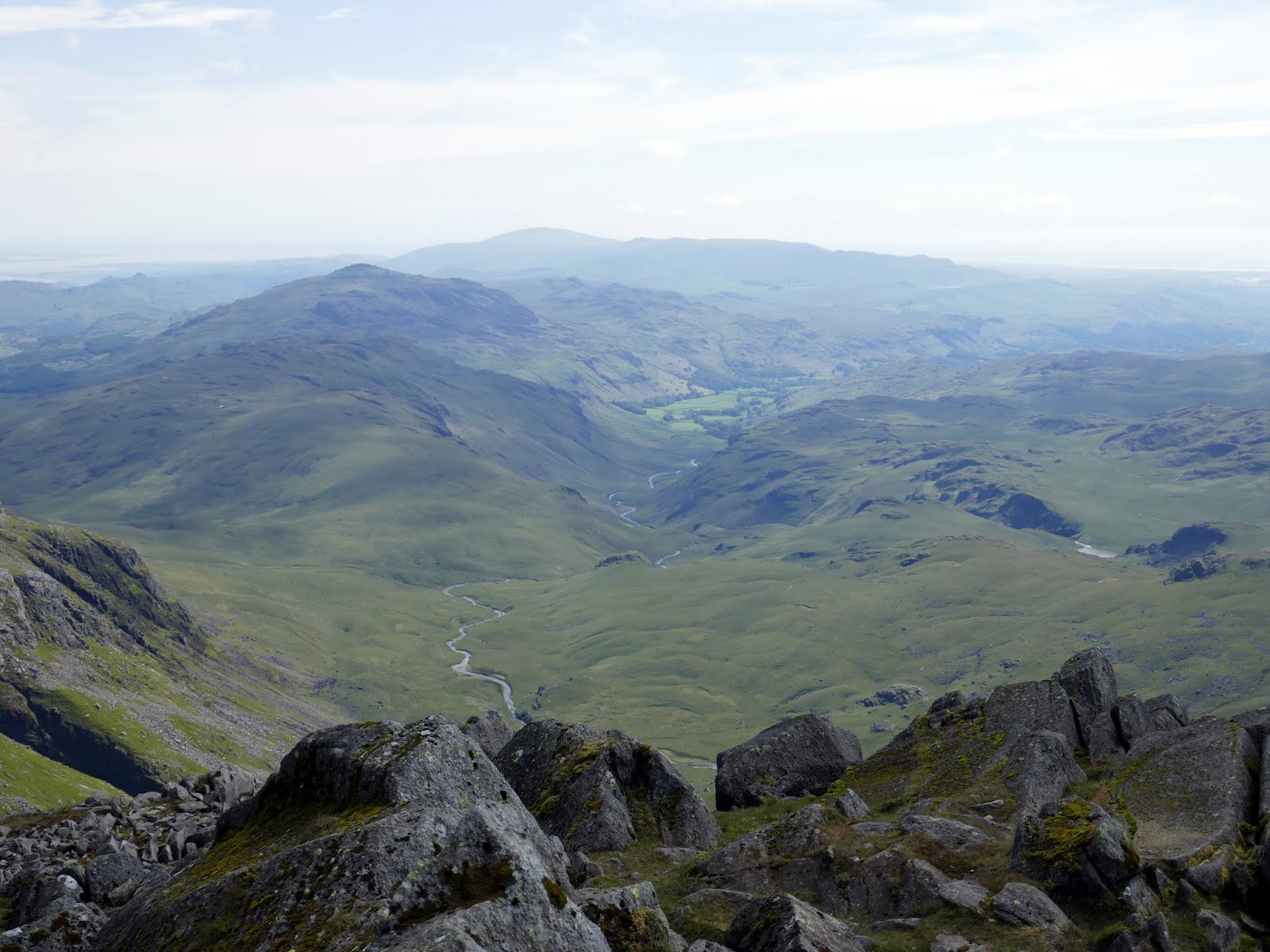 |
| Eskdale |
 |
| The Scafells |
 |
| The Scafells |
 |
| The Great Slab from Bowfell Buttress |
 |
| Bowfell's North Top |
 |
| Bowfell from the North Top |
 |
| Esk Pike over Ore Gap |
 |
| Esk Pike's interesting south ridge |
 |
| Langstrath |
 |
| Allen Crags |
 |
| Angle Tarn |
 |
| Rossett Pike |
 |
| Angle Tarn and Hanging Knotts |
 |
| The stream flowing out of Angle Tarn |
 |
| Mickleden |
 |
| Rossett Pike |
 |
| Pike O'Stickle |
 |
| Mickleden |
 |
| Looking up towards Stake Pass |
 |
| Mickleden |
 |
| Pike O'Blisco and its long northeast ridge |
 |
| Pike O'Stickle, Gimmer Crag and Loft Crag |
 |
| Pike O'Blisco |
 |
| Great Langdale Beck |
 |
| Pike O'Stickle and Loft Crag |
 |
| Great Langdale |
 |
| Crinkle Crags and Bowfell |
No comments :
Post a Comment