Saturday 16 June 2018

Scafell Pike via Piers Gill

Scafell Pike via Piers Gill 18-06-2018

This map was created using GPS Visualizer's do-it-yourself geographic utilities.

Please wait while the map data loads...


Route: Wasdale Head, Burnthwaite, Moses' Trod, Lingmell Beck, Piers Gill, Middleboot Knotts, Round How, Corridor Route, Lingmell Col, Scafell Pike, Hollow Stones, Brown Tongue, Brackenclose

Date: 17/06/2018
From: Wasdale Head


Parking: Brackenclose / Wasdale Head
Start Point: Wasdale Head
Region: Southern Fells

Route length: 7.3 miles (km)
Time taken: 04:25
Average speed: 1.6mph
Ascent: 1,045m
Descent: 1,032m

Wainwrights on this walk:
Scafell Pike (978m)

Additional summits: Middleboot Knotts (703m), Round How (741m)

Other points of interest: Piers Gill

Everyone knows Scafell Pike and, like all popular mountains, there are popular routes - the Corridor Route or the direct route up Brown Tongue for instance. I think you may be hard-pressed to find many who had ventured up the Piers Gill path.

Piers Gill itself is quite infamous - it is the location of numerous MRT call-outs as people descending from Scafell Pike inadvertently enter it thinking it to be a viable way down. It is not. I must stress that a route up or down the gully is not possible for the average walker - there are a few serious, vertical sections and no mobile phone coverage. Instead, the Piers Gill path actually follows the rim of the canyon as it climbs up from Wasdale Head.
Wasdale
Getting to Piers Gill involves a walk along to valley leading towards Sty Head. After passing through Burnthwaite Farm, a path leaves the main walkers track (which becomes Moses' Trod), remaining in the valley bottom, following the stream. Crossing the stream where Piers Gill meets Spouthead Gill leads onto open fellside.
The Wasdale Head Inn below Yewbarrow
Crossing Gable Beck
Entering the access land
A vague path follows Lingmell Beck
The plunge pool at the foot of Piers Gill
There is a vague path there that climbs up towards Piers Gill - shrouded in the cloud on this particular occasion. It wasn't until we reached the entrance that the drama of the gill was revealed. As I mentioned, Piers Gill is essentially a canyon that carves a path across the crags of Lingmell, forming a very distinctive L-shaped gash. A path follows the eastern side, right up to the point where the Corridor Route crosses the gill.
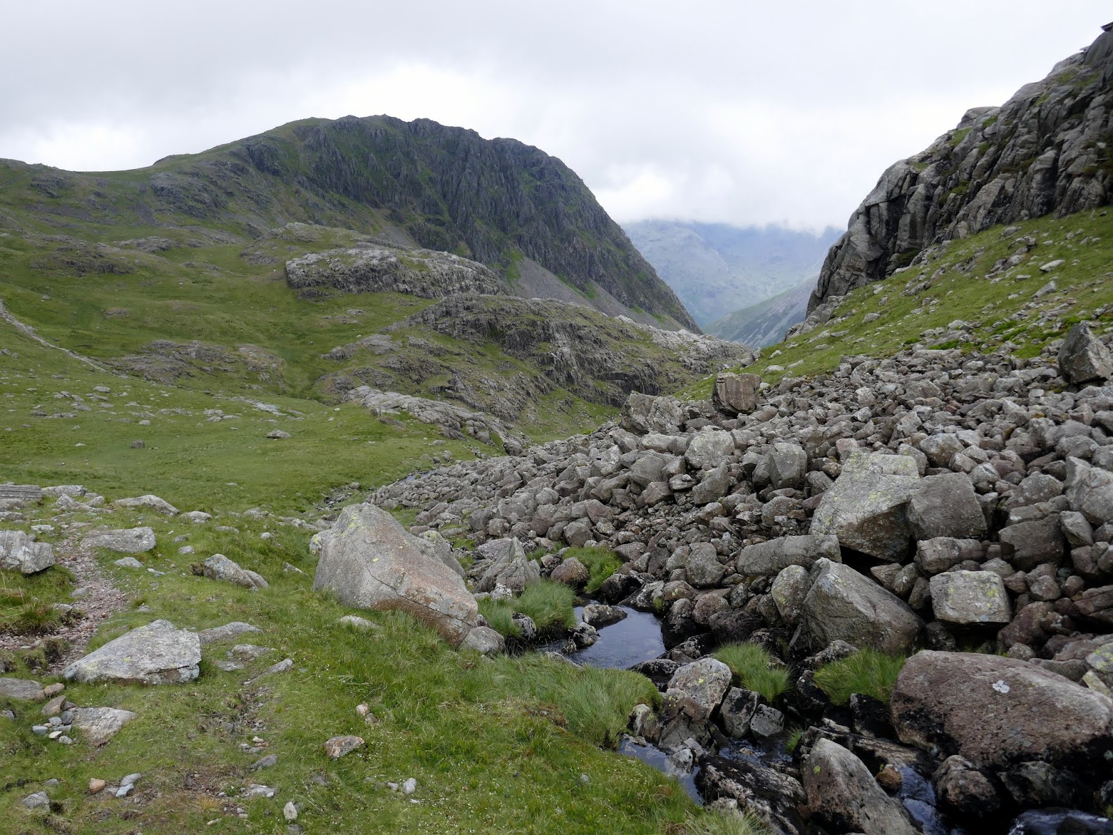
Looking back down the valley
Piers Gill
The entrance to the canyon
Stand Crag emerges from the cloud
Climbing along the rim of Piers Gill
Due to the low cloud, we may have missed a few key features, however, there are two of note that are worth mentioning. First is the rock step around halfway, an easy and enjoyable short scramble. The second requires a short detour from the path shortly after the step to the point where Piers Gill turns through 90 degrees. Here the view of the canyon is immense, even with the cloud which helped to add its own element of drama.
The short scramble
Piers Gill
Piers Gill
Piers Gill below Middleboot Knotts
Piers Gill
We returned to the path and made a very short climb up to Middleboot Knotts, a small Nuttall summit along the route. As we lingered on the summit the clouds started to lift and break, bringing a renewed interest in the remainder of the day.
The summit of Middleboot Knotts
Criscliffe Knotts and Round How
Piers Gill
Looking down on the Corridor Route
Great End
Though Scafell Pike was the ultimate objective, the domed summit of Round How (another Nuttall) is also an easy bag from Middleboot Knotts, only requiring a modest detour to get to the summit - cutting across the grassy slopes below Broad Crag. The views from this small fell are exemplary, even given the clouds which still shrouded the higher summits.
Broad Crag
Round How
Round How's summit
Broad Crag
Lingmell
With Round How in the bag, we returned back to the Corridor Route, following it to Lingmell col, joining the masses climbing from Wasdale Head. As we climbed the clouds returned, however, they also brought a bought of unexpected rain. So much so that I hadn't packed a pair of waterproof trousers.
Lingmell
Descending from Round How
Piers Gill
The Corridor Route crosses the top of Piers Gill
The Corridor Route
Hurriedly, we made it to the top before quickly turning and beginning our descent. We had planned to have a wander around and visit Lingmell or Scafell but the rain only appeared to be getting heavier so, instead, we decided to beat a hasty retreat - drawn by the prospect of a car boot-brewed coffee and urged on by the familiar feeling of trainers filling with water.
The path that climbs to the summit
The slabs
The final few metres
Scafell Pike's summit
Fortunately, the Brown Tongue path down to Wasdale is very well built and easy to follow so we made good time, hopping down the stone steps to Lingmell Gill. Crossing here is usually a careful balancing act but, with feet saturated by the rainfall, we simply waded across. It was interesting to see people wearing shorts and t-shirts still doggedly making their way up. I'm not sure what they expected to achieve other than a thorough drenching.
Lingmell Gill
Wast Water and Wasdale
The final leg took us back down to the campsite where one of our cars was waiting with a set of dry clothes and the chance to debrief. It had turned out to be an unexpected but interesting day - the perfect example of the changeability of the mountain weather. Still, the Piers Gill path was enjoyable and I'm certain I'll go back on a drier, less cloudy day.

2 comments :

  1. Thanks, that was a really interesting read and very helpful for anybody contemplating this fascinating route. It’s probably the most detailed description of the Piers Gill path route that I’ve come across and the photos of the “bad step” before the elbow bend were especially useful.

    ReplyDelete