Route: Brackenclose, The Screes, Lund Bridge, Low Wood, The Lodge, Greendale, Netherbeck Bridge, Overbeck Bridge, Brackenclose
From: Wasdale Head
Parking: Brackenclose
Start Point: Wasdale Head
Region: Western Fells
Route length: 7.5 miles (12 km)
Time taken: 03:20
Average speed: 2.2 mph
Ascent: 243m
Descent: 257m
Summits: None
Other points of interest: The Screes
Wastwater (or Wast Water) is England's deepest Lake and home to some of the most famous views in the Lake District. In fact, the National Park's logo is made up of the image of Great Gable, flanked by Yewbarrow and Lingmell - the iconic Wastwater view. Interestingly, it is a classic example of a glacially 'over deepened' lake meaning the bed level is actually below sea level.
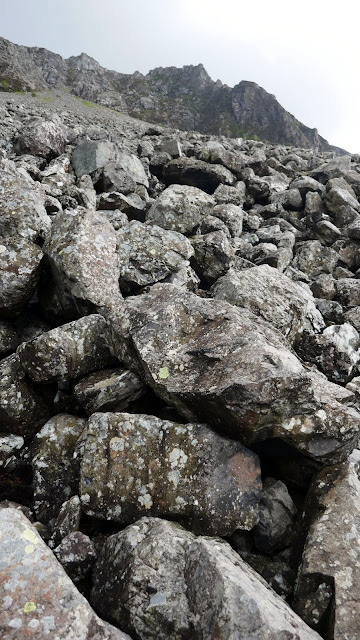
Perhaps its most defining feature is the immense Screes - a 600m curtain of rocks and boulders that tumble into the lake from the fells above. A path crosses the foot of the screes allowing you to complete a grand circuit of the lake as we did on a damp summer afternoon.
Arriving mid-morning amidst a deluge, we booked in at our weekend campsite and pondered our options. A low-level walk in the rain didn't particularly appeal. Instead, we decamped to the pub at Wasdale Head and waited for the worst of the day's rain starting to ease. We emerged from the pub, ready for a swift afternoon outing.
 |
| Lingmell Gill |
 |
| Wast Water and Middle Fell |
 |
| Illgill Head |
 |
| Kirk Fell |
 |
| Starting out along the screes path |
 |
| The screes and Wast Water |
 |
| Knott Ends and Yewbarrow |
 |
| Bowderdale and Knott Ends |
 |
| The screes |
 |
| The screes |
 |
| Looking up the screes to Bell Rib |
 |
| The screes |
 |
| The screes |
 |
| Looking back along the screes |
 |
| The crags of Whin Rigg |
 |
| Yewbarrow |
 |
| The boulders |
 |
| Broken Rib |
 |
| The boulder field below Broad Crag |
 |
| Wast Water |
 |
| Yewbarrow |
 |
| Clouds part over Yewbarrow |
 |
| The boulders |
 |
| Add caption |
 |
| Wast Water panorama |
 |
| The southern end of Wast Water |
 |
| The River Irt at Low Wood |
 |
| Wast Water |
 |
| The screes |
 |
| The screes |
 |
| The Wast Water view from the Greendale landing stage |
 |
| Middle Fell |
 |
| Greendale junction |
 |
| Clouds linger atop Illgill Head |
 |
| Great Gable |
 |
| Wast Water |
 |
| Yewbarrow |
 |
| Kirk Fell and Great Gable |
 |
| Wasdale Head Inn |

No comments :
Post a Comment