
This map was created using GPS Visualizer's do-it-yourself geographic utilities.
Please wait while the map data loads...
Route: Cwm Cywarch, Gesail, Cwm yr Ychen, Bwlch y Gesail, Glasgwm, Waun Camddwr, Gwaun y Llwyni, Drws Bach, Aran Fawddwy, Erw y Ddafad-ddu, Aran Benllyn, Drws Bach, Drysgol, Waun Goch, Pen yr Allt Uchaf, Allt Uchaf, Cywarch
From: Cwm Cywarch
Parking: Car park in Cwm Cywarch
Start Point: Cwm Cywarch
Region: Snowdonia
Route length: 13.5 miles (21.7 km)
Time taken: 06:04
Average speed: 2.2 mph
Ascent: 1,392m
Descent: 1,389m
Summits: Glasgwm (779m), Waun Camddwr (621m), Gwaun y Llwyni (685m), Aran Fawddwy (905m), Erw y Ddafad-ddu (872m), Aran Benllyn (885m), Pen yr Allt Uchaf (630m)
The Arans are comprised of a high, broad, grassy ridge with smooth slopes to the north and steep crags to the south. The principal summits are formed of large rocky outcrops, dotted along the ridge. The downside of this is that it is a challenge to form a large circular walk of these peaks, instead, an out-and-back approach is necessary unless you have two cars.
My journey started in the wondrous depths of Cwm Cywarch where, towards the end of a long, narrow lane, there is a free National Park car park, complete with a portable toilet.
 |
| Information board in Cwm Cywarch |
 |
| The parking area at the end of the valley |
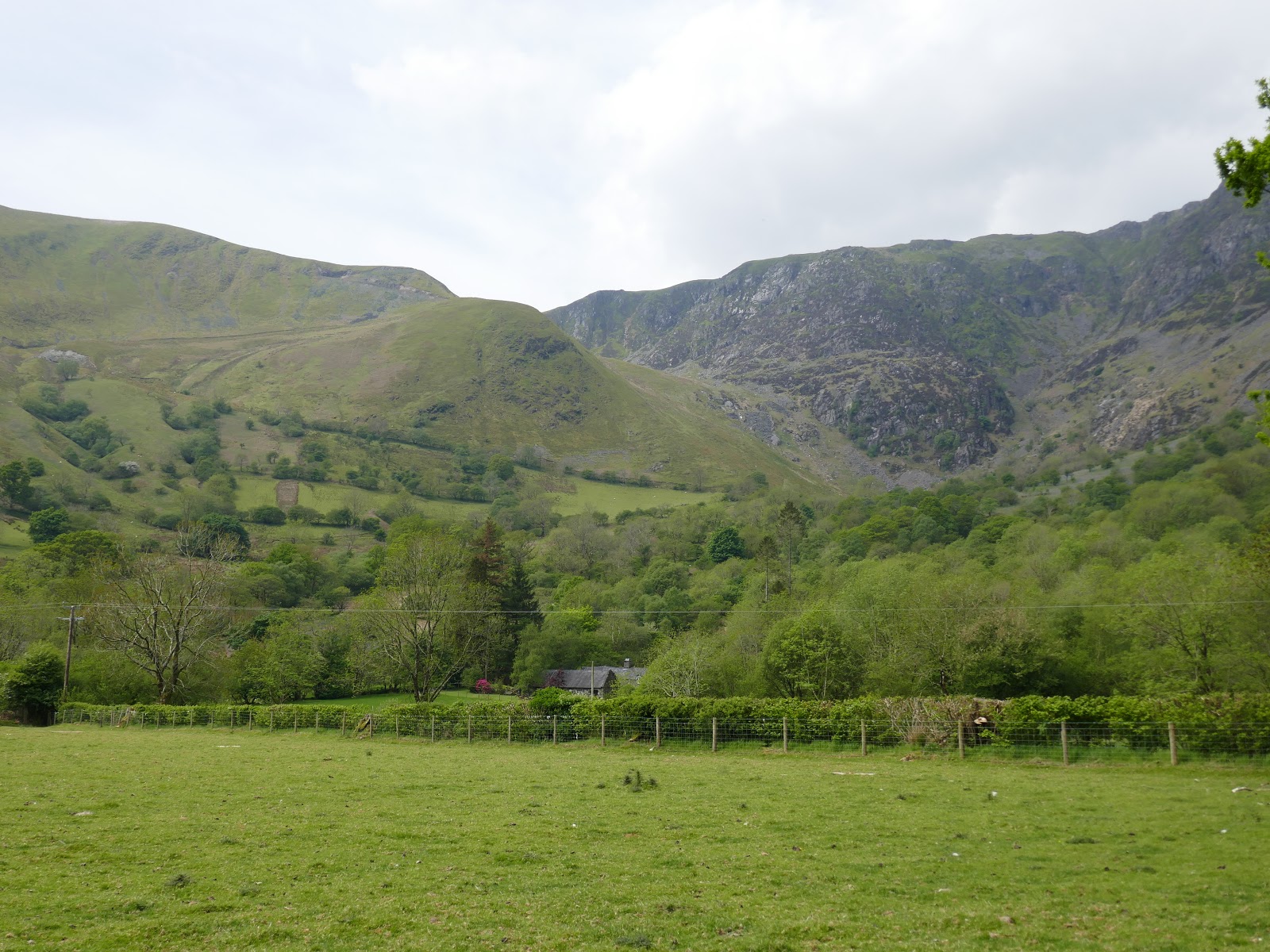 |
| Cwm Cywarch and the morning' climb |
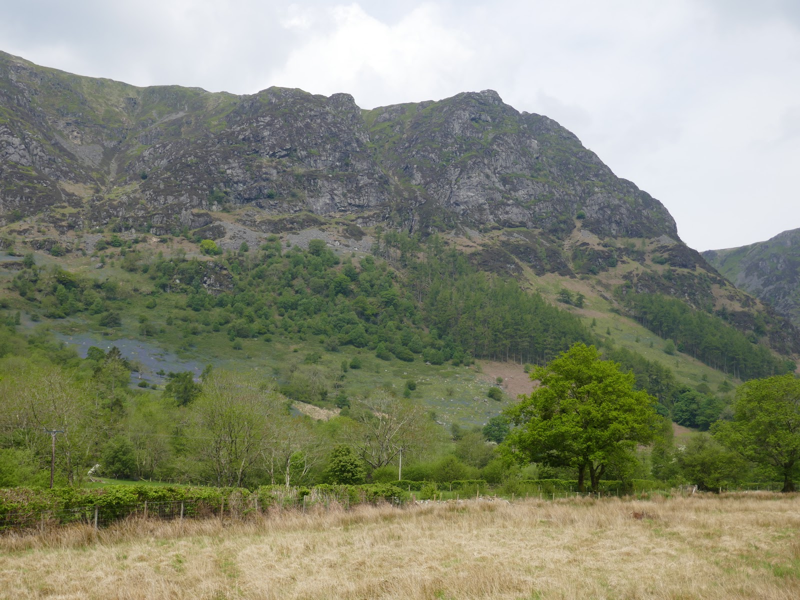 |
| Craig Cywarch |
 |
| The track at Gesail |
 |
| Cwm Cywarch |
 |
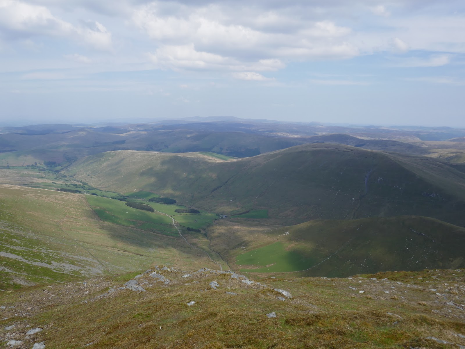
| Looking across the valley to Pen yr Allt Uchaf |
 |
| Cwm Cywarch |
 |
| Climbing as the track turns back towards Y Gribin |
 |
| Looking down the track - steeper than it looks! |
 |
| Looking back along the valley |
 |
| The final bend in the track |
 |
| Onwards up Bwlch y Gesail |
 |
| Crossing Bwlch y Gesail |
 |
| A view down to the valley below |
 |
| Approaching the summit |
 |
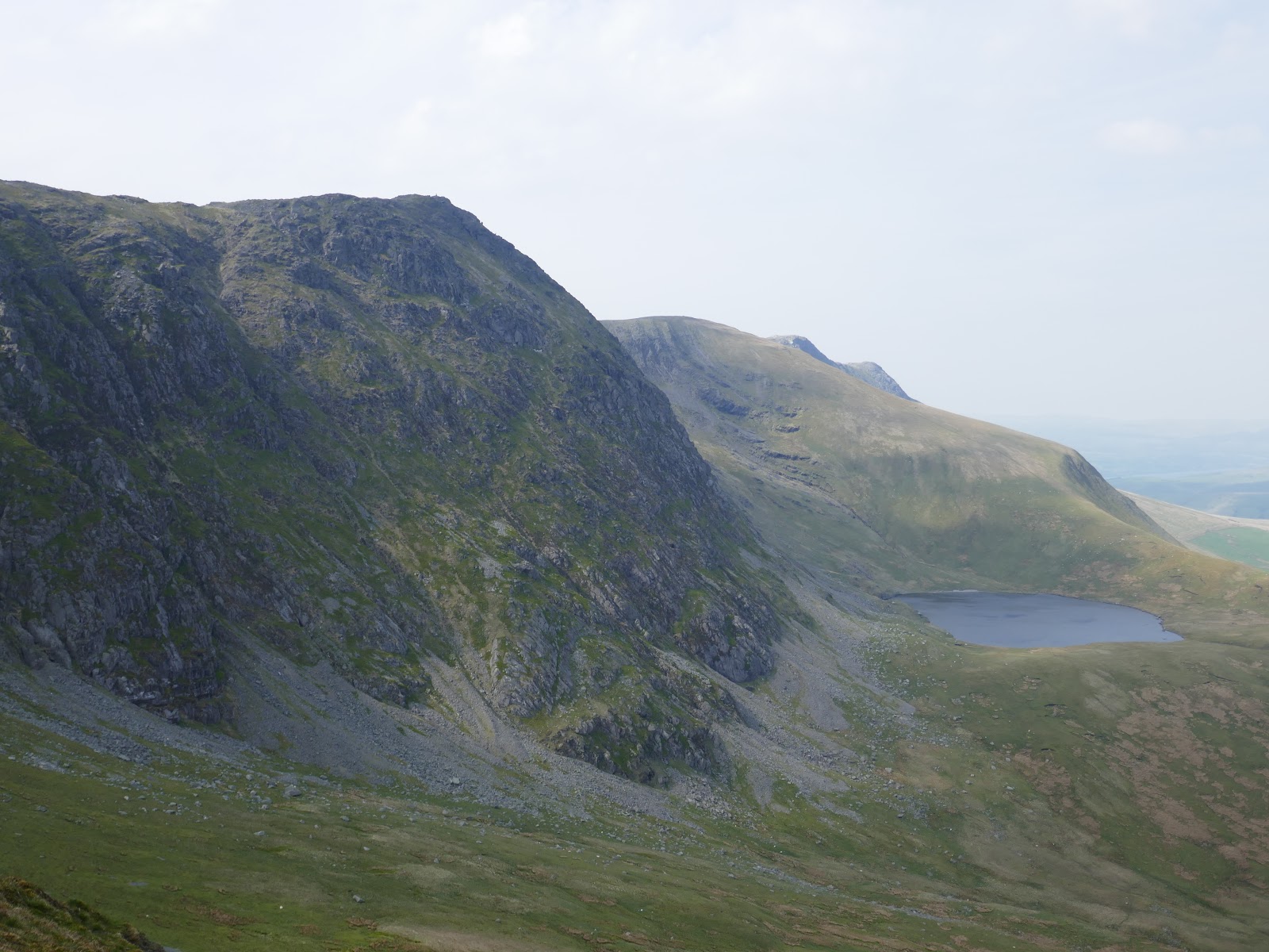
| Llyn y Fign |
 |
| Glasgwm's summit |
 |
| Onwards - the view to Aran Fawddwy |
 |
| Creigaiu Caeddwr and Gwaun y Llwyni |
 |
| Waun Camddwr and Aran Fawddwy |
 |
| Waun Camddwr |
 |
| Glasgwm |
 |
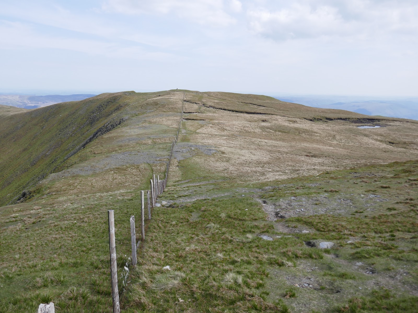
| Boards follow the fence |
 |
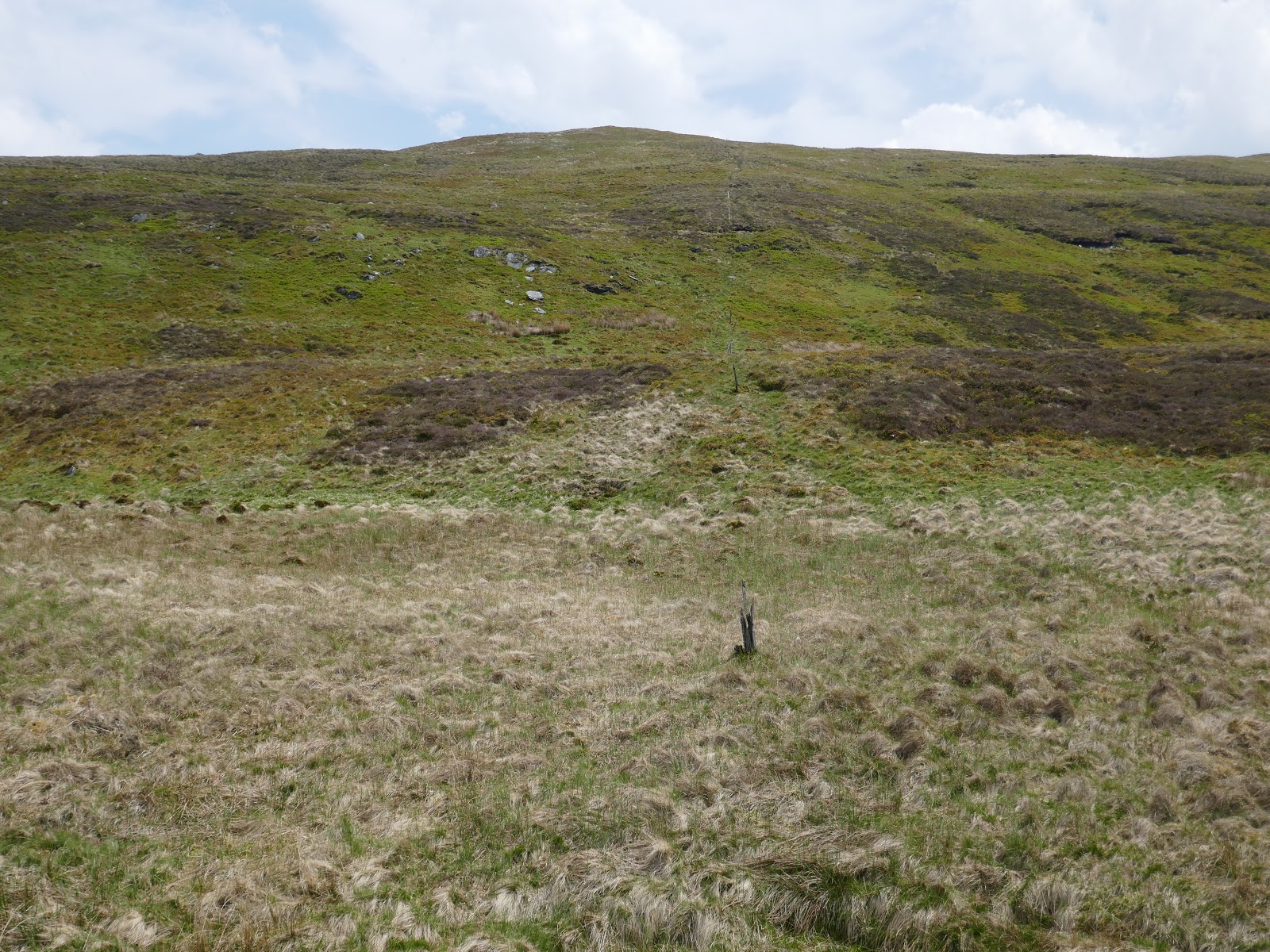
| Evidence of wetter times |
 |
| Glasgwm from Waun Camddwr |
 |
| Aran Fawddwy |
 |
| Some wetter bits |
 |
| A short, sharp climb to Gwaun y Llwyni |
 |
| Drws Bach |
 |
| Gwaun y Llwyni's summit |
 |
| Hengwm |
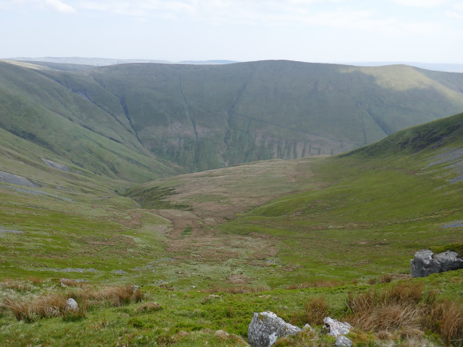 |
| Hengwm |
 |
| Gwaun y Llwyni |
 |
| Hengwm |
 |
| The slopes of Drws Bach |
 |
| Aran Fawddwy |
 |
| Looking back to Drws Bach |
 |
| Aran Fawddwy |
 |
| Cader Idris |
 |
| The Rhinogs |
 |
| Creiglyn Dyfi |
 |
| Llaethnant |
 |
| Aran Fawddwy's summit |
 |
| The ridge route to Aran Benllyn |
 |
| Foel Hafod-fynydd |
 |
| Aran Fawddwy |
 |
| Creiglyn Dyfi and Aran Fawddwy |
 |
| Cairn on Erw y Ddafad-ddu |
 |
| Erw y Ddafad-ddu |
 |
| Aran Benllyn |
 |
| Cwm Llwydd |
 |
| Aran Benllyn |
 |
| A fence is present much of the way |
 |
| Looking back towards Aran Fawddwy |
 |
| Aran Benllyn's summit |
 |
| The route back to Aran Fawddwy |
 |
| Aran Fawddwy |
 |
| Aran Fawddwy and a distant Aran Benllyn |
 |
| Returning to Drws Bach |
 |
| Aran Fawddwy |
 |
| The MRT cairn on Drws Bach |
"This cairn was built by members of the Royal Air Force St. Athan mountain rescue team in memory of S.A.C. Michael (“Mike”) Robert Aspain who on 6th June 1960 was killed by lightning near this spot whilst on duty with the team."A sombre reminder of the dangers faced by the volunteers of the UK Mountain Rescue teams.
 |
| The plaque commemorating Mike Aspain |
 |
| Foel Hafod-fynydd |
 |
| Aran Fawddwy |
 |
| Erw y Ddafad Ddu |
 |
| The Aran ridge |
 |
| Descending to Waun Goch |
 |
| Looking back up to Drysgol |
 |
| One of the US jets that had been roaring round all-day |
 |
| Drws Bach at the head of Hengwm |
 |
| Pen yr Allt Uchaf |
 |
| Looking back towards Aran Fawddwy |
 |
| Pen yr Allt Uchaf |
 |
| The fence runs straight down into the valley |
 |
| Cywarch |
 |
| Creigiau Camddwr |
 |
| Cwm Cywarch |
 |
| Creigiau Camddwr |
 |
| Cwm Cywarch |
 |
| A broad track leads back towards the car park |
 |
| The crags of Cwm Cywarch |
A fine portrayal of this magnificent range; and you actually mentioned those wretched military aircraft that plague the weekday skies in rural Wales. I lived for 20 years in Wales, owned a property in the Carneddau (Haofd y rhiw by Llyn Eigiau) but was driven out by the military. Many a time on my rambles as a National Park Warden visiting folk to the area would ask about these jets not realising this had been going for decades - literally thousands of low flying exercises per year. Two world wars and our species has learned nothing from the horrors of war!!
ReplyDelete