
This map was created using GPS Visualizer's do-it-yourself geographic utilities.
Please wait while the map data loads...
Route: Trasbwll, Cerrig Cochion, Clogwynyreryr, Cefn Tal-llyn-Eigiau, Craig Eigiau, Gledrffordd, Foel Grach, Gwaun y Garnedd, Yr Elen, Carnedd Llewelyn, Penywaun-wen, Bwlch Eryl Farchog, Pen yr Helgi Du, Y Lasallt, Bwlch Tri Marchog, Pen Llithrig y Wrach, Craig Ffynnon, Hafod-y-rhiw, Llyn Eigiau
From: Trasbwll
Parking: Trasbwll Car Pak
Start Point: Trasbwll
Region: Snowdonia - Carneddau
Route length: 13.3 miles (24.4 km)
Time taken: 06:03
Average speed: 2.2 mph
Ascent: 1,299m
Descent: 1,303m
Summits: Craig Eigiau (735m), Foel Grach (976m), Yr Elen (926m), Carnedd Llewelyn (1,064m), Pen yr Helgi Du (833m), Pen Llithrig y Wrach (799m)
Other points of interest: Melynllyn, Cwm Caseg, Cwm Eigiau, Craig yr Ysfa
Despite being on the quieter side of Snowdonia, this high-level circuit of Cwm Eigiau ranks as one of the classic walks in North Wales. Ridges, narrow aretes, high mountains and brooding crags were all on the agenda today with a promising forecast to boot.
The walk starts from a remote car park located at the end of a superbly winding, gated, single-track road from the village of Tal-y-bont. There's space for around 15 cars - get there early enough and you can have it all to yourself. The route can be completed in either direction, I chose an anti-clockwise circuit, leaving the best of the ridge walking for later in the day.
 |
| Cwm Eigiau on a fine morning |
 |
| The track leading away from the car park |
 |
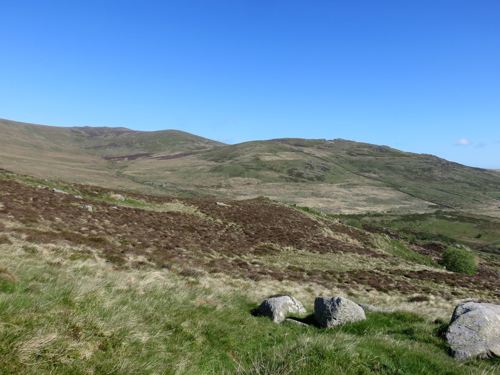
| Craig Eigiau |
 |
| Craig Ffynnon and Pen Llithrig Wrach |
 |
| Cerrig Cochion |
 |
| Drum and Pen y Castell |
 |
| Carnedd Gwenllian |
 |
| The Melynllyn quarry road at Clogwyn Maldy |
 |
| Foel-fras |
 |
| Looking into Pant y Graifolen towards Pen y Castell |
 |
| Cefn Tal-llyn-Eigiau |
 |
| Afon Porth-llwyd |
 |
| Carnedd Llewelyn, Foel Grach, Carnedd Gwenllian and Foel-fras |
 |
| Craig Eigiau |
 |
| Craig Eigiau's summit looking to Carnedd Llewelyn |
 |
| The view to Pen Llithrig y Wrach |
 |
| Craig Eigiau |
 |
| Looking across Gledrffordd to Carnedd Llewelyn |
 |
| Foel Grach and Melynllyn |
 |
| The Gledrffordd ridge |
 |
| Carnedd Llewelyn |
 |
| Skies begin to darken |
 |
| Looking through Bwlch Eryl Farchog |
 |
| Showers stream into the Conwy Valley |
 |
| Approaching Foel Grach |
 |
| Foel Grach's summit just as the rain arrived |
 |
| The shelter below the summit |
 |
| Carnedd Gwenllian |
 |
| A damp Carnedd Llewleyn and Yr Elen |
 |
| Ffynnon Llyffant with added rain spot for effect |
 |
| The north ridge of Carnedd Llewelyn |
 |
| Clouds draped across the lower slopes of Carnedd Gwenllian |
 |
| Looking back to Foel Grash as the weather clears |
 |
| Yr Elen pokes up above the ridge of Carnedd Llewelyn |
 |
| Yr Elen |
 |
| Carnedd Dafydd |
 |
| Elidir Fawr and the immense Atlantic Slab of Carnedd y Filiast |
 |
| Yr Elen |
 |
| Yr Elen's summit looking to Carnedd Gwenllian |
 |
| Carnedd Llewelyn from Yr Elen |
 |
| Carnedd Llewelyn |
 |
| Yr Elen |
 |
| Cwm Caseg |
 |
| Foel Grach and Carnedd Gwenllian |
 |
| Carnedd Llewelyn's summit |
 |
| Penywaun-wen and Ffynnon Llugwy |
 |
| Penywaun-wen |
 |
| Moel Siabod and Ffynnon Llugwy |
 |
| Tiny Ffynnon Llyffany in Cwm Eigiau |
 |
| Pen yr Helgi Du and Pen Llithrig y Wrach |
 |
| Cwm Eigiau |
 |
| Ffynnon Llugwy |
 |
| Pen yr Helgi Du and Fynnon Llugwy |
 |
| The rock step on Penywaun-wen |
 |
| Bwlch Eryl Farchog and Pen yr Helgi Du |
 |
| Carnedd Dafydd |
 |
| Craig yr Ysfa |
 |
| The north-west ridge of Pen yr Helgi Du |
 |
| Craig yr Ysfa and Cwm Eigiau |
 |
| Carnedd Llewlyn and Craig yr Ysfa |
 |
| Pen yr Helgi Du's summit |
 |
| Tryfan and the Glydrau |
 |
| Capel Curig and Moel Siabod |
 |
| Pen Llithrig y Wrach |
 |
| Cwm Eigiau |
 |
| Pen Llithrig y Wrach |
 |
| An interested onlooker |
 |
| Looking back towards Pen yr Helgi Du and Carnedd Llewelyn |
 |
| Pen Llithrig y Wrach's summit |
 |
| The craggy Gallt yr Ogof |
 |
| Tryfan, Bristly Ridge and Glyder Fach |
 |
| Llyn Cowlyd |
 |
| Creigiau Gleision |
 |
| Craig Eigiau and Llyn Eigiau |
 |
| Ranks of wind turbines |
 |
| Cwm Eigiau |
 |
| Creigiau Gleision |
 |
| Craig yr Ysfa and Carnedd Llewelyn |
 |
| Craig Eigiau |
 |
| The ridge to Craig Ffynnon |
 |
| Craig Eigiau |
 |
| The valley of Afon Ddu |
 |
| The quarry road |
 |
| The breached dam |
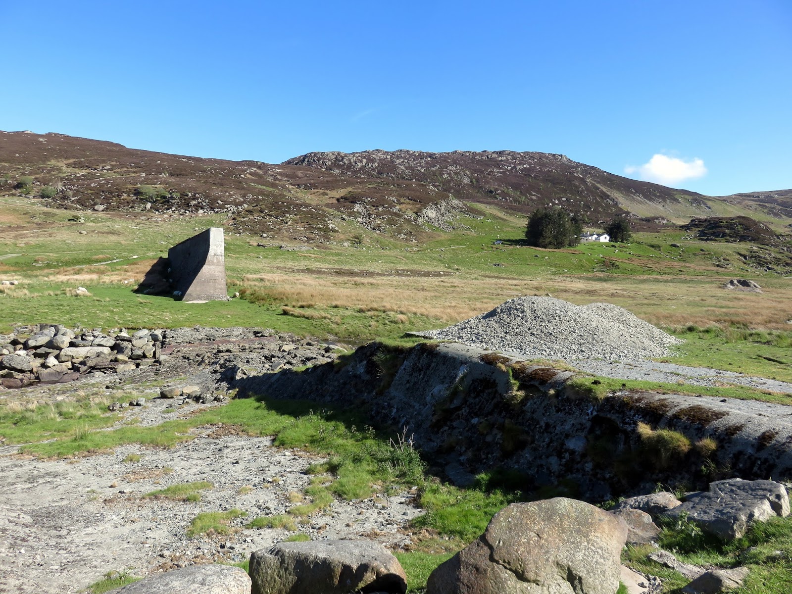 |
| The breached dam |
 |
| Pen Llithrig y Wrach |
 |
| Pen Llithrig y Wrach and the breached dam |
 |
| Cwm Eigiau |
Very well presented thanks
ReplyDeleteThanks!
DeleteFantastic detail and photos
ReplyDeleteThanks!
ReplyDelete