This map was created using GPS Visualizer's do-it-yourself geographic utilities.
Please wait while the map data loads...
From: Honister Hause
Parking: Parking at Honister Slate Mine
Start Point: Honister Hause
Region: North Western Fells / Western Fells
Route length: 5.7 miles (9.2 km)
Time taken: 03:00
Average speed: 1.9 mph
Ascent: 669m
Descent: 669m
Wainwrights on this walk:
Dale Head (753), Fleetwith Pike (648m)
Additional summits: Honister Crag (Black Star) (633m)
Other points of interest: Honister Slate Mine
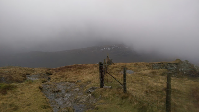
Eager to get some decent fells under our boots, we made our way to Honister with the intention of a one way walk across the Dale Head - Robinson ridge; another car would be stationed at the Newlands Pass to eliminate a fairly tedious return journey. The forecast for the day had been promising but our hopes were dashed as soon as we arrived at the famous slate mine at the top of the Honister Pass. Low clouds lingered across the summits and a strong wind was driving the drizzle in sheets across the fellside. Interestingly, we had just done a winter skills course the previous day, making the most of the snow that lay high up on fells around Helvellyn. After 24 hours of unseasonably warm temperatures, the snow had all but gone - no need for any additional equipment today.
 |
| Looking across to Fleetwith Pike from The Hause |
 |
| Looking down towards Honister as the weather closes in |
 |
| Clouds around Yew Crag Quarry |
 |
| Dale Head's lonely summit |
 |
| Honister Pass |
 |
| The dominant crags of Fleetwith Pike |
 |
| Looking down the mine road to Honister |
 |
| Grey Knotts above the quarry road |
 |
| A stark warning |
 |
| Grey Knotts and Brandreth |
 |
| Spoil heaps litter the fell |
 |
| Hindscarth high above the Honister Pass |
 |
| Black Star looking towards Fleetwith Pike |
 |
| The depths of Bull Gill |
 |
| Remains of the old quarry on Fleetwith Pike |
 |
| Great Gable pokes out above Brandreth |
 |
| The summit of Fleetwith Pike |
 |
| Panorama from Fleetwith Pike; Brandreth, Great Gable and Hay Stacks |
 |
| Cloudy skies over Buttermere |

No comments :
Post a Comment