This map was created using GPS Visualizer's do-it-yourself geographic utilities.
Please wait while the map data loads...
Date: 13/06/2015
From: Mungrisdale
Parking: Mungrisdale
Start Point: Mungrisdale
Region: Northern Fells
Route length: 10.5 miles (16.9 km)
Time taken: 4:14
Average speed: 2.5 mph
Ascent: 762m
Descent: 761m
Wainwrights on this walk:
Souther Fell (522m), Mungrisdale Common (633m), Bannerdale Crags (683m), Bowscale Fell (702m)
Other Summits: Tarn Crags Top (665m)
Other points of interest: Bannerdale
We parked in the hamlet of Mungrisdale, home to a handful of cottages, farms and the all-important public house, where most walks seem to have the unerring ability to begin and end from, which was exactly the case for ours today. After a morning making the most of better than expected weather, we'd headed round to Mungrisdale in the hope that the forecast rain may hold off for a little longer. Despite the warmth in the day, views were limited thanks to a thick haze that had draped itself across the park.
 |
| Great Mell Fell through the haze |
 |
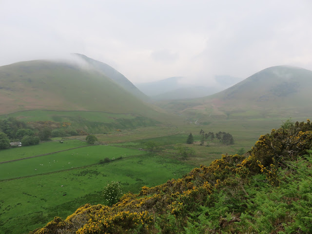
| Bannerdale |
 |
| The Tongue in Bannerdale |
 |
| Looking back down Souther Fell |
 |
| The Tongue |
 |
| Bannerdale Crags at the head of the valley |
 |
| Souther Fell's summit patch |
 |
| Looking back to the summit dome |
 |
| Mousthwaite Comb and Scales Fell |
 |
| Looking over Mousthwaite Comb to Matterdale Common |
 |
| The River Glenderamackin |
 |
| Looking back to Souther Fell |
 |
| The rounded rear of Bannerdale Crags |
 |
| Brunt Knott |
 |
| Scales Beck |
 |
| The Glenderamackin |
 |
| Mungrisdale Common |
 |
| The 'summit' |
 |
| Proof we actually made the trek |
 |
| Keep an eye out for this if you're planning to head to Mungrisdale Common |
 |
| Bannerdale Crags slopes up ahead |
A path clings to the very brink of the crags as it makes it way along towards Bowscale Fell, the highest point of the day, with the clouds rising and falling as we made our way along. It's a fairly easy route and has the added bonus of being largely flat until the final climb.
 |
| Bannerdale Crags summit |
 |
| Cloud swirls over the edge of the crags |
 |
| The route towards Bowscale Fell |
 |
| Above the crags of Bannerdale |
 |
| Looking down into Bannerdale |
 |
| A faint Bowscale Fell |
 |
| Bannerdale Crags |
 |
| Heading for Bowscale Fell |
 |
| Bowscale Fell's summit shelter |
 |
| Cairn on Tarn Crags Top |
 |
| Cloud in the valley below |
 |
| A very hazy Bannerdale |
 |
| Souther Fell |
 |
| Bannerdale |
 |
| A small abandoned quarry near Mungrisdale |
 |
| The Tongue |

No comments :
Post a Comment