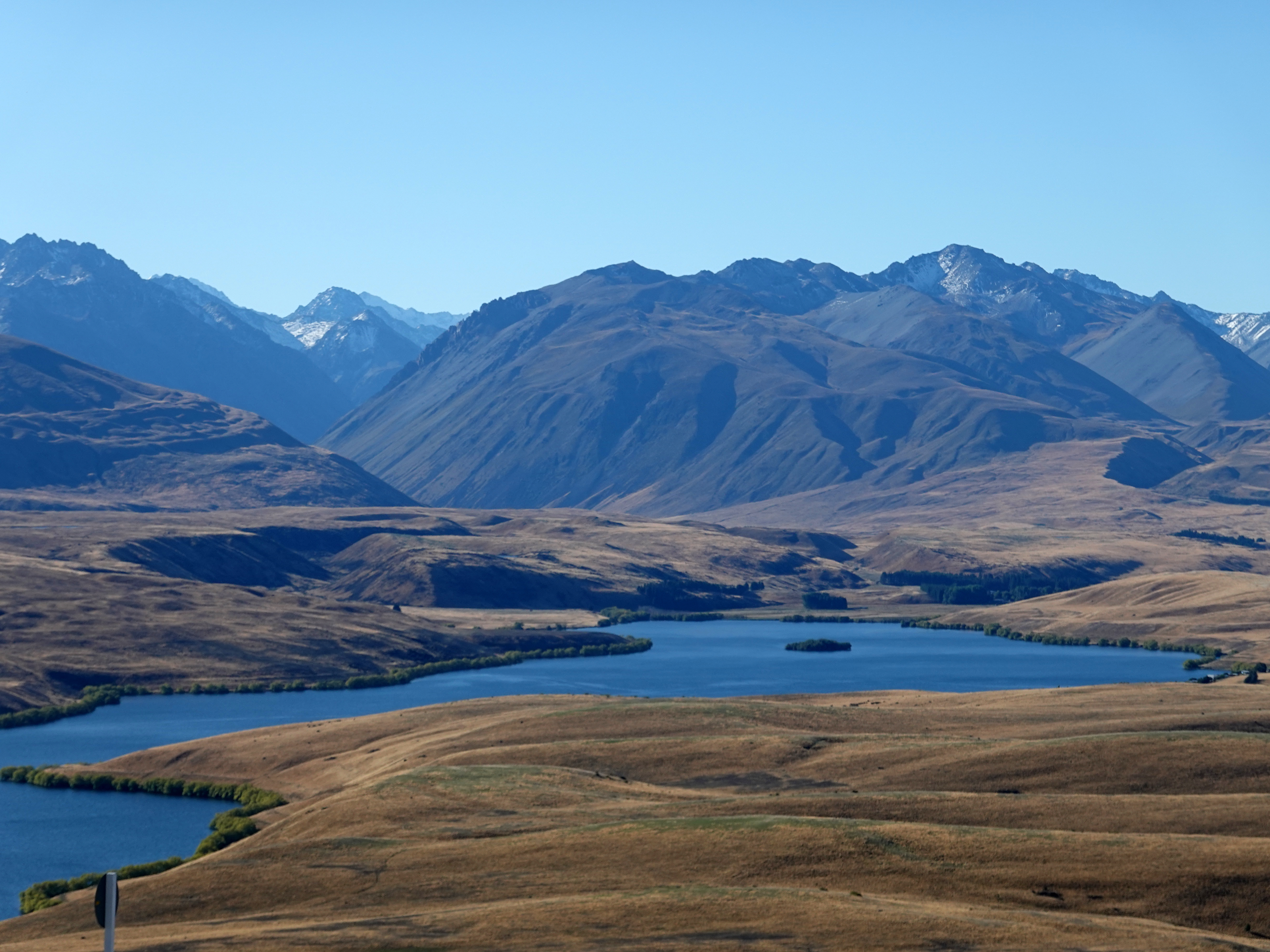
Mount John towers directly above Lake Tekapo in the heart of the South Island’s Mackenzie Country. While the village is famous for the vibrant, glacial-blue hues of its lake, it also boasts world-class stargazing thanks to its exceptional freedom from light pollution. Set within the Aoraki Mackenzie International Dark Sky Reserve—the largest of its kind on Earth—it makes a brilliant base for exploring the region. |
| The Church of the Good Shepherd is a popular spot in Tekapo village |
Thanks to these pristine dark skies, Mount John hosts the University of Canterbury’s premier astronomical observatory—an impressive complex housing six telescopes, including the largest in New Zealand.
The trail to the summit forms part of a scenic 8-kilometre circuit starting and finishing in the village, climbing to the peak before winding back along the lake shoreline. It’s an ideal trek for the morning or late afternoon—which was when I set off.
The track begins at Tekapo Springs, climbing around the back of the spa complex before entering the wooded hillside of Mount John. Here, it winds uphill through the trees on a clear, well-marked path before emerging onto the tussock-covered slopes beneath the summit. Gaining 150 metres in a short burst, this is easily the most challenging part of the hike. |
| Mount Edward (1,916m) |
 |
| Tekapo village |
 |
| The path from Tekapo Springs climbs the steep side of Mount John |
 |
| Mount John |
The observatory occupies the summit and is closed after 5pm to allow the safe operation of the telescopes. This doesn't prevent you from seeing any of the views, however. If you can't manage the hike or don't have the time, you can drive to the observatory by paying a modest fee to use the road. The Astro Café awaits you at the summit, where you can enjoy a coffee while marvelling at the views.
 |
| Views over the Mackenzie Basin |
 |
| Lake Tekapo |
 |
| The Mount John Observatory |
On the subject of the summit — the University of Canterbury owns the observatory atop Mount John, which is home to the 1.8 m MOA telescope, the largest optical telescope in New Zealand. They operate tours through the Dark Sky Project, and we were lucky enough to spend some time at the observatory on a crystal-clear night that coincided with a strong Aurora Australis or, Southern Lights. The results were spectacular.
 |
| A strong Aurora Australis was on show when we visited the observatory |
 |
| The Milky Way over Tekapo |
 |
| The Astro Café atop Mount John |
Geologically speaking, Mount John is a roche moutonnée—a massive, glacier-carved bedrock hill. As an ancient glacier flowed across the valley, it scraped and polished the upstream side smooth, then plucked away jagged chunks of rock from the downstream face. This dual action left behind the characteristic asymmetric mound standing above the basin today.
The entire landscape of the Mackenzie Basin was forged during the last Ice Age, when massive glacial outbursts carved out its sprawling, flat floor. Sitting at an altitude over 600 metres in the rain shadow of the Southern Alps, the region surrounding Lake Tekapo endures a harsh, semi-arid climate akin to Siberia—characterised by baking hot summers, bone-chilling winters, and very little rainfall.
The best view of the Mackenzie Basin is from the top of the track after it emerges from the woodland.
 |
| The view from the trail over the Mackenzie Basin |
 |
| The Mackenzie Basin |
The trail continues along the spine of Mount John, heading north down a fairly gentle slope. The views to the north are spectacular, encompassing Lake Tekapo, Lake Alexandrina, the Gamack and Hall Ranges and part of the Southern Alps.
 |
| Clouds spill through Tekapo Saddle |
 |
| Mount Ardmore (1,989m) |
 |
| Lake Tekapo and the Southern Alps |
 |
| Lake Alexandrina |
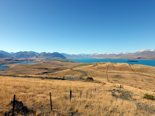 |
| Descending from Mount John |
At the northern tip of Mount John, the path makes a sharp 180-degree turn, dropping down towards the shoreline on its return leg to Tekapo Springs. It’s along this gentle descent that the views over Lake Tekapo truly peak, laying out the full, vibrant expanse of turquoise water below. |
| Looking north across Lake Tekapo |
 |
| Motuariki Island and the Two Thumb Range |
 |
| The pleasing lines of the Sibbald Range, crowned by Mount Sibbald (2,811m) |
 |
| Descend off the north side of Mount John |
 |
| Motuariki Island and Mount Ardmore (1,989m) |
 |
| Tekapo village |
Lake Tekapo is one of three lakes that run roughly parallel along the northern edge of the Mackenzie Basin, the other two being Lake Pukaki and Lake Ohau. The lake is fed by water from the Southern Alps, specifically meltwater from the Grey Glacier, Classen Glacier and Godley Glacier (among other, smaller ones). The glacial silt carried in the water gives Lake Tekapo its distinctive colour.
 |
| Lake Tekapo |
The return leg to the village follows the water's edge along the eastern base of Mount John. This flat, easy stroll traces the shoreline all the way back to Tekapo Springs, making for a peaceful conclusion to the loop. |
| Lake Tekapo |
 |
| Clouds spill through Tekapo Saddle |
 |
| Lake Tekapo |
 |
| Tekapo village |
 |
| Lake Tekapo in Tekapo village |
The scenery around Mount John makes a climb to the summit well worth the effort. In addition, the summit of Mount John, with its observatory and state-of-the-art telescopes, offers a unique opportunity to explore the depths of the universe and witness the brilliance of the stars above. It seems Tekapo is fast trying to position itself as a main tourist destination on South Island, and I can see why. The scenery, both during the day and the night, is truly stunning.