Saturday 18 May 2019

Pen-y-ghent

Pen-y-ghent 18-05-2019

This map was created using GPS Visualizer's do-it-yourself geographic utilities.

Please wait while the map data loads...


Route: Horton in Ribblesdale, Brackenbottom, Brackenbottom Scar, Pennine Way, Pen-y-ghent, Foxup Road, Horton Moor, Hull Pot, Horton Scar

Date: 18/05/2019
From: Horton in Ribblesdale


Parking: National Park Car Park
Start Point: Horton in Ribblesdale
Region: Yorkshire Dales

Route length: 6.3 miles (10.1km)
Time taken: 04:20
Average speed: 1.7mph
Ascent: 475m
Descent: 481m

Summits on this walk:
Pen-y-ghent (695m)

Additional summits: None

Other points of interest: Hunt Pot, Hull Put

Pen-y-ghent's iconic shape is one the most recognisable amongst those who frequent the Yorkshire Dales. At 695m, it's certainly not the highest peak in the Dales but it easily outshines many of its loftier neighbours. It makes a great introductory mountain the those of us who are new to the pursuit of climbing mountains, and this extends to our young nephew who was keen to see what I get up to on my weekends away.

This walk starts from the traditional departure point of Horton in Ribblesdale. As we arrived to see cars parked along every available square centimetre of verge and roadside, it was clear that three peaks season was in full swing. Luckily, given our slightly odd arrival time just before lunch, we found a space in the official Yorkshire Dales car park - clearly, someone who had already been and gone. Or just blind luck on our part.
St Oswald's church in Horton in Ribblesdale
We set off with a brief wander along the road to Brackenbottom, past the Pen-y-ghent Cafe, the traditional starting point of the Yorkshire Three Peaks Challenge, and towards the small Horton CoE school, which can be found hidden along the lane after crossing Horton Beck. Passing the school, the road swings round to reach the farm at Brackenbottom.
Pen-y-ghent seen over Brackenbottom
Bluebells in the wood at Nether Close
Here, we left the road and began the steady climb up past Brackenbottom scar, a series of limestone outcrops that add some interest to the climb. The path here is starting to suffer from the popularity of Pen-y-ghent and the impact of the Three Peaks challenge. An estimated 80,000 people make the ascent of the mountain each year and is ranked by Ordnance Survey as the seventh most popular walking route in Britain.
Douk Ghyll and Ingleborough
Ribblesdale
In the hazy sunshine, this is a very pleasant part of the walk, allowing us to cover a decent distance and gain some height without a great deal of exertion. Before long (despite seeing it several times already), Pen-y-Ghent heaves into view. It's a superb sight. Some say it resembles a crouching lion, I don't really see it myself but I'll let you decide on that one. In either case, it looks impressive, more so the closer you get. On a side note, the distinctive rakes that cover the hillside were revealed during a great storm in July 1881.
Pen-y-ghent
Following the path at Brackenbottom Scar
Before long, the path reaches the Pennine Way, which crosses directly over the summit. In fact, the peak forms part of the watershed of the Pennine Fells - water from the western flanks drains towards the Irish Sea while water from the eastern flanks eventually finds its way into the Humber Estuary.
Approaching the Pennine Way
Pen-y-ghent
The Pennine Way as it begins its ascent on Pen-y-ghent
Joining the Pennine Way begins the most interesting part of the walk as the path steepens and begins its final assault on the summit. Firstly, a short scramble is required to reach a short plateau underneath the mass of the mountain. Here, we climbed the steep path until a couple of short, hands-on sections were reached. These are best tackled as directly as possible. Once the scrambling is over, a gradual ascent on a paved path covers the final few hundred metres to the summit.
Dawson Close looking across at Fountains Fell
Looking back along the Pennine Way
Pen-y-ghent Gill
The steep ascent towards the summit
Add caption
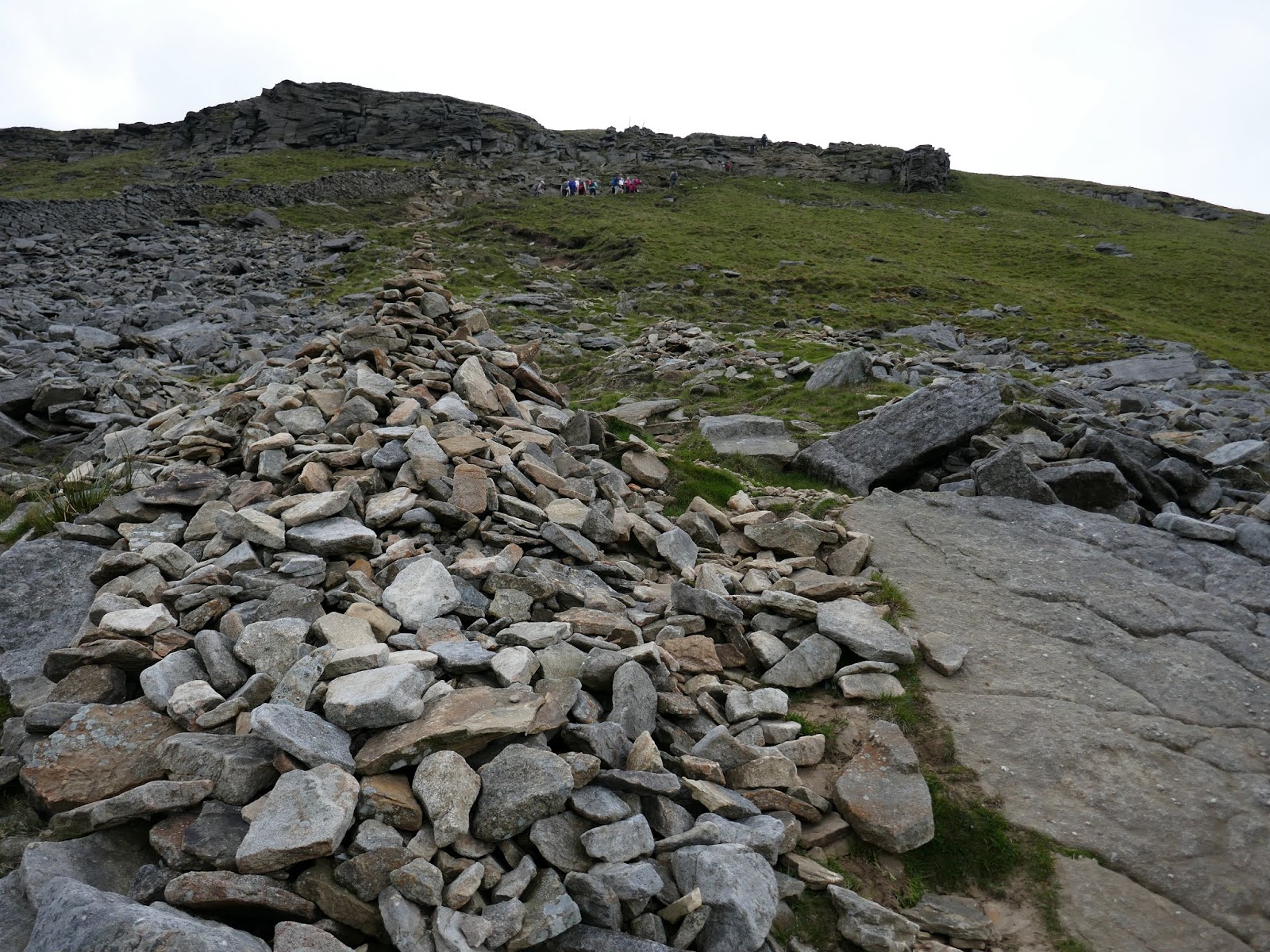
The final steeper section
Add caption
Marked by a trig point and featuring a rather enticing, recently renovated stone shelter, the summit was reasonably busy when we arrived - a fairly typical scene on Pen-y-ghent during the spring and summer.
Pen-y-ghent's summit
We left the summit by crossing the stile by the shelter and starting downhill. Here, on the northern slopes of the mountain, a set of stone steps have recently been installed to protect it from erosion. Using locally cut stone, they look clean and fresh now though they should weather in over time. Still on the Pennine Way, the path turns a right angle and continues its long descent towards Tarn Bar.
The new slabs on the north side of the mountain
Horton Moor
Ingleborough
The Pennine Way
Pen-y-ghent Side
Shortly before reaching the crossroad at Tarn Bar, we left the path for a quick look at Hunt Pot, a deep hole in the ground that is synonymous with the limestone of the Yorkshire Dales. The slot of Hunt Pot is a typical example of a Yorkshire Dales pothole. Having washed away a shallow coating of glacial boulder clay, a surface stream has found a weakness in the underlying limestone and cut a vertical channel, which has been expanded by dissolution to produce a 60m-deep chasm.
Hunt Pot
Hunt Pot
Hunt Pot
Back to the Pennine Way, and reaching Tarn Bar, we joined the well-defined bridleway, Foxup Lane. Not a lane in the traditional sense, maybe more of a 'walkers road'. Another short detour led us to Hull Pot.
The Pennine Way
Hull Pot is the largest natural hole in England and is the result of a cave collapse countless years ago. It really is a stunning sight. It is actually a collapsed cavern and there is little to explore underground.  In dry weather, Hull Pot Beck goes underground before it gets to the rim of the pot and resurfaces again as a waterfall below in the pot itself. The water then disappears again and re-emerges at Brants Gill Head, a short distance from the Pennine Way and Ribble Way near to Horton-in-Ribblesdale. But in very wet weather the stream runs over the edge into the pot, creating a spectacular waterfall. In fact, it has been known to fill it to the brim with the water overflowing and running down the hillside.   
Hull Pot
Hull Pot
Foxup Lane becomes Foxup Road and is, in fact, a Road - albeit one suitable for 4x4s. The descent of Foxup Road, adjacent to Horton Scar encompasses the final quarter of the walk and is a pleasant enough stroll through some classic limestone scenery. It's a shame it was so wet and I hadn't considered an alternate path down Horton Scar. Think of it as a series of mini-Malham coves and you're halfway there. Looks like a trip for another day. Probably the same day I re-visit Hull Pot.
Foxup Lane
Foxup Road
Pen-y-ghent and Horton Scar
Derelict building at Outaber
Foxup Road
Reaching the bottom of the Foxup Road we were spat out onto the main road through Horton in Ribblesdale. I'd highly recommend this walk to everybody, especially Pen-y-ghent as I felt that it gives you a real sense of what climbing mountains are all about without being too strenuous at any point. The sheer variety of people we saw on the summit really tells the whole story about the appeal of the mountains of Yorkshire to everyone as well as their accessibility.

No comments :

Post a Comment