
This map was created using GPS Visualizer's do-it-yourself geographic utilities.
Please wait while the map data loads...
Route: Succoth, Creag an Fhithich, Cruach nam Miseag, The Spearhead, Beinn Narnain, Bealach a' Mhaim, North Peak, The Cobbler, Coire a' Bhalachain, Narnain Boulders, Allt a' Bhalachain, Monadh Liath, Succoth
Date: 17/04/2017
From: Arrochar
Parking: Succoth
Start Point: Succoth
Region: Loch Lomond & The Trossachs
Route length: 7.0 miles (11.2 km)
Time taken: 04:23
Average speed: 1.6 mph
Ascent: 1,253m
Descent: 1,276m
Munros on this walk:
Beinn Narnain (926m)
Other Summits: North Peak (870m), Ben Arthur (884m)
Other points of interest: Narnain Boulders
We recently spent a week up on the west coast of Scotland, a fair trek from All the Gear HQ. It's not a place I've been to before but I was keen to make the most of our location by having a few hikes up to my sleeve for those all-too-rare sunny days. Luckily for me, the first day of the holiday was shaping up to be one of the best.
 |
| The view from our front door in Crinan |
 |
| Starting the walk from the road in Succoth |
 |
| The head of Loch Long with Ben Reoch beyond |
There was no hiding from the fact that the climb up Beinn Narnain is direct with little deviation. It begins by following a wide track for a short distance before a small path heads off at a right angle into the trees. This direct route follows a line of concrete blocks that once supported a cable railway which was used during the construction of a dam on Allt Sugach.
 |
| A brief burst of sun |
 |
| The direct route |
 |
| The concrete blocks that used to carry to the old cable railway |
 |
| Approaching Creag an Fhithich |
 |
| Looking back to Loch Long |
 |
| Loch Long |
 |
| Creag an Fhithich |
 |
| Some mild scrambling |
 |
| Looking down from Cruach nam Miseag |
 |
| Sugach Buttress |
 |
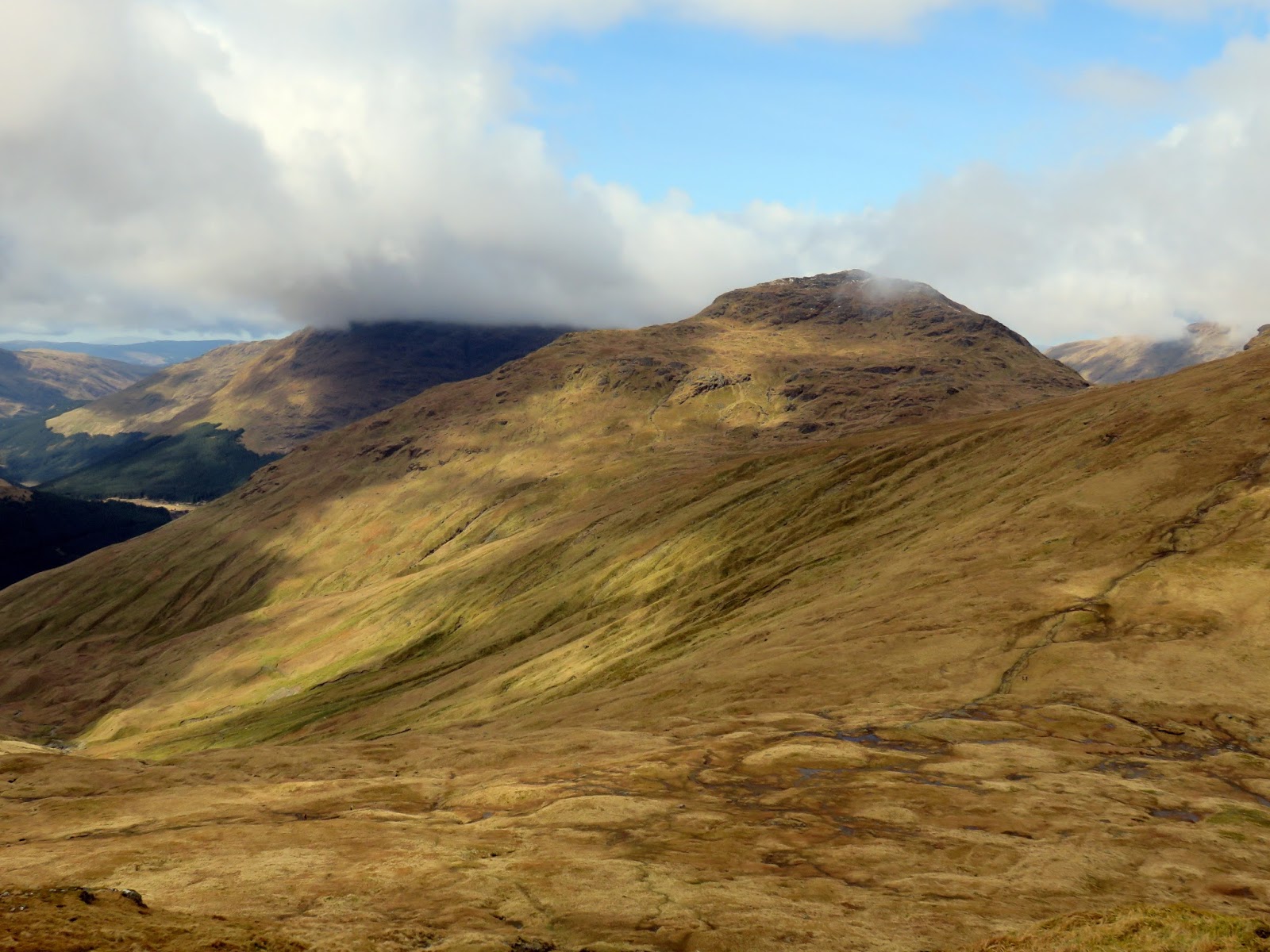
| Cruach nam Miseag |
 |
| Into the cloud |
 |
| Approaching The Spearhead |
 |
| Starting the climb towards The Spearhead |
 |
| Ben Arthur makes its first appearance |
 |
| Cruach nam Miseag |
 |
| Shattered rocks below The Spearhead |
 |
| The Spearhead |
 |
| An easy gully leads up along The Spearhead |
 |
| Beinn Narnain's summit |
 |
| The neighbouring A' Chrois |
 |
| Beinn Narnain's summit |
 |
| Ben Arthur |
 |
| Bealach a' Mhaim |
 |
| Last of the cloud on Ben Arthur |
 |
| Ben Arthur |
 |
| Beinn Luibhean |
 |
| Beinn Ime |
 |
| Beinn Narnain |
 |
| Beinn Ime and Ben Vane from the Ben Arthur path |
 |
| The summit ridge of Ben Arthur |
 |
| The North Peak |
 |
| Allt a' Bhalachain |
 |
| Beinn Narnain |
 |
| The North Peak |
 |
| Below the North Peak |
 |
| Ben Arthur's summit |
 |
| The Needle |
 |
| The tilted slab after passing through The Needle |
 |
| The North Peak |
 |
| Ben Lomond |
 |
| The North Peak |
 |
| The North Peak |
 |
| It was a steep route down |
 |
| Ben Arthur - The Cobbler |
 |
| Ben Arthur |
 |
| Allt a' Bhalachain |
 |
| The Narnain Boulders |
 |
| Ben Arthur over Allt a' Bhalachain |
 |
| Ben Arthur over Allt a' Bhalachain |
 |
| The summit in detail |
 |
| The zig zags through the woods |
 |
| Loch Long and Arrochar |
 |
| Loch Long |
Thank you
ReplyDelete