Sunday 22 July 2018

High Street via Riggindale & Kidsty Pike

High Street via Kidsty Pike 22-07-2018

This map was created using GPS Visualizer's do-it-yourself geographic utilities.

Please wait while the map data loads...


Route: Mardale Head, The Rigg, Bowderthwaite Bridge, Kidsty Howes, Kidsty Pike, Rampsgill Head, The Knott, Straits of Riggindale, High Street, Mardale Ill Bell, Nan Bield Pass, Small Water, Mardale Head

Date: 22/07/2018
From: Mardale Head


Parking: Mardale Head
Start Point: Mardale Head
Region: Far Eastern Fells

Route length: 8.4 miles (13.5 km)
Time taken: 04:20
Average speed: 1.9mph
Ascent: 788m
Descent: 784m

Wainwrights on this walk:
Kidsty Pike (780m), Rampsgill Head (792m), The Knott (739m), High Street (828m), Mardale Ill Bell (760m)

Additional summits: None

Other points of interest: Riggindale, Small Water

Despite visiting High Street on several occasions, I've never climbed along the northern rim of the inviting valley of Riggindale. The southern ridge is formed of Rough Crag which I climbed on an interesting autumn day while Kidsty Pike is the high point of the north ridge - a place I haven't visited for several years. This was, however, only part of the reason why we were drawn down to Mardale Head at the start of the school summer holidays.

To date, the summer of 2018 has been exceptionally dry, so much so that the water levels in the Haweswater reservoir have dipped quite dramatically, revealing the remains of the village that was flooded during its creation. This is not a common occurrence and this was too good a chance to miss.

We parked on the lane close to the car park at the end of the reservoir road - it had filled up by the time we arrived. It was clear that the low water levels have made Mardale Head a semi-tourist attraction with a number of families milling around. Weather-wise, things were much warmer and brighter than forecast and it was fortunate I always have a bottle of sun cream in the car boot, having initially anticipated an overcast day.
Tucked in for the day
The usual shoreline of Hawswater
We set off, following a path to the shore of the reservoir (or where it normally should be) and striding out across the dry bed along what was probably the old road through the village, lined on either side by the sad remains of the drystone walls which divided up the fields.
The old Mardale road
Haweswater has existed as a lake since the last Ice Age though was much smaller than the reservoir we see today. At the head of the valley was Mardale Green, a small rural hamlet of a few farms, cottages and a church. The Manchester Corporation bought the land and constructed the Haweswater Dam in the 1930s, flooding the valley and Mardale Green to supply water to the ever-growing population of Manchester.
The remains of a small stream crossing
Little of the village remains - the buildings were destroyed by the Royal Engineers and the church was dismantled and re-built as the water take-off tower with its permanent residents exhumed and transferred to Shap.
A wall-lined lane
It was interesting walking around, seeing glimpses of what the village may have been like - a small stream crossing or the drystone walls for instance. When levels are really low or the reservoir is deliberately drained, the footbridge which crossed Mardale Beck makes an appearance though not on this occasion.
Mardale Green
Haweswater
Mardale Beck
Having wandered around the reservoir bed for a while (which makes for an interesting gpx track), we crossed over to the western side to reach the path along the shoreline, heading for The Rigg.
Haweswater
Looking back towards Mardale and Harter Fell
The path rise to cross the small peninsula, dropping down into Riggindale before the real business of climbing fells. The initial climb towards Kidsty Howes is fairly steady going but steepens as it moves towards the top, eventually getting a little bit hands-on towards the end. This steepness eventually subsides and a broad grassy ridge leads to Kidsty Pike.
Riggindale
Kidsty Pike
Haweswater at Bowderthwaite Bridge
High Street and Riggindale
The Rigg backed by Selside Pike
Kidsty Howes
Kidsty Howes
Looking back down the climb
High Street
Kidsty Pike
Looking across Rough Crag
Strangely, a plague of flies was clouding Kidsty Pike's summit - you can make them out in the photo. Suffice to say we didn't linger. Fells come in quick succession from here as we crossed to Rampsgill Head and then to The Knott which peers down into Hayeswater.
The plague of flies on Kidsty Pike
Kidsty Pike's summit
High Street
The Straits of Riggindale
Ramps Gill
Ramps Gill panorama
Ramps Gill
The cairn at Rampsgill Head
The Knott
A large cairn tops The Knott
High Street
The path from The Knott
From The Knott is a straightforward climb up over High Street, following the route of the old Roman road. The Roman road crossed the fell on its journey between the forts at Brougham (Brocavum) near Penrith and at Ambleside (Galava). Paths run either side of the wall all the way to the summit but make sure to stop off at a noticeable cairn on the left for a great view of Riggindale and Kidsty Pike.
Kidsty Pike
Riggindale from the Straits
After a number of minutes of plodding up the hill, we made it to the trig point at the summit. The flat plateau at the summit of the fell was used as a venue for summer fairs by the locals in the 18th and 19th centuries. People would gather every year on 12 July to play games as well as horse racing. The summit of High Street is still known as Racecourse Hill and is so named on maps. The last of the summer fairs was held in 1835.
The Straits of Riggindale
High Street's summit
Heading to Mardale Ill Bell, we plunged into the clouds which were forming on the southern slopes of High Street. It wasn't until we had passed Mardale Ill Bell's summit that we emerged below them once again.
Into the clouds on High Street
Harter Fell
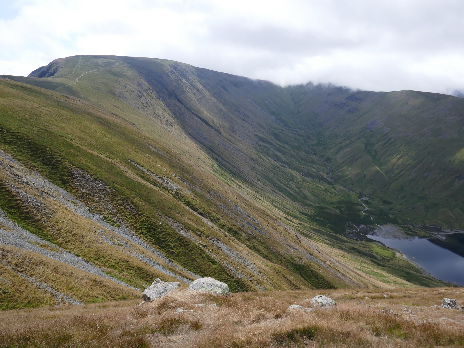
Looking down on Small Water
A dry Kentmere Reservoir - presumably this was deliberate
We followed the track down to the summit of the Nan Bield Pass. The pass was the ancient trading route between Kentmere and the now drowned village of Mardale Green. Having never actually descended the pass, we decided to use it as our route back to Mardale Head. Near the shore of Small Water are a number of stone shelters, pointers to the earlier importance of the pass. These each provide refuge for one person in extreme conditions, the entrance being via crawling.
The Nan Bield Pass
Small Water
Small Water Crag
The stone shelters
The Nan Bield track
Small Water
Small Waters outlet
From Small Water its a short, easy descent back to Mardale Head and the car, concluding an excellent day on the fells.
The route back to Mardale Head
Mardale Green

No comments :

Post a Comment