This map was created using GPS Visualizer's do-it-yourself geographic utilities.
Please wait while the map data loads...
Route: Otley, East Chevin Road, Birdcage Walk, Johnny Lane, White House, East Chevin Quarry, Chevin Forest Park, Ebor Way, Caley Crags, Caley Deer Park, Dales Way, Miller Lane, The Chevin (Surprise View), Yorkgate Quarry, West Chevin Road, Burras Lane, Otley
Date: 24/04/2016
From: Otley
Parking: Otley
Start Point: Otley
Region: Yorkshire
Route length: 6.3 miles (10.1 km)
Time taken: 02:41
Average speed: 2.3 mph
Ascent: 460m
Descent: 464m
Summits:
The Chevin (282m)
Other points of interest: White House, East Chevin Quarry, Caley Crags
We kept things local this week; there's plenty of fine walking to be found within a few miles of the city centre of Leeds. A mere 2km from Leeds International Airport you can find The Chevin, a ridge of high round above Wharfedale which overlooks the market town of Otley, a short half-hour drive from All the Gear HQ.
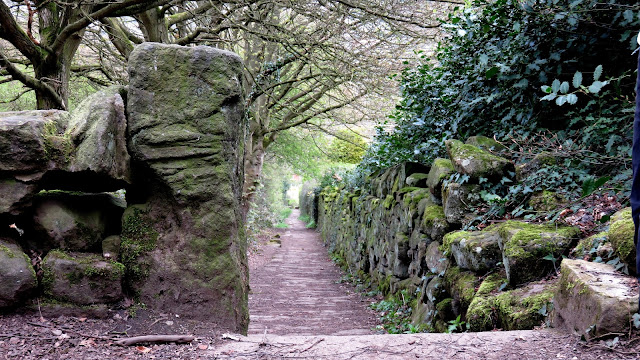
The Chevin has an interesting history, which I'll touch on later, first we had to get there. Leaving the car in the town, we made our way through the streets to Johnny Lane which leads directly to the foot of the Chevin. Ahead is a fairly steep climb up to White House, currently the base from which the Chevin Forest Park is managed. At various times in its history, it has also offered refreshments to passing visitors. In recent times it housed a Visitor Centre for Chevin Forest Park, a role now provided from the adjacent café building.
 |
| Old mill on Johnny Lane |
 |
| The paved lane leading towards White House |
 |
| The White House through the trees |
 |
| Looking back down the paved path |
 |
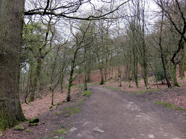
| Chevin Forest Park |
 |
| Otley |
 |
| East Chevin Quarry |
 |
| East Chevin Quarry |
“Your Council may even now be considering alternative forms of war memorials. It occurs to me that an open space which can be beautified by trees and preserved in a natural state might offer an opportunity as a memorial to all who fought and furthered the war of Freedom on all fronts.”This act of generosity saw the Danefield Estate become open to the public for the first time since the Land Enclosure Acts of the 1780s, and the first steps were taken to create the Chevin Forest Park that is known today.
 |
| A bench with a view |
 |
| A millstone marks the entrance to the Chevin Forest Park |
 |
| The Chevin Forest Park |
 |
| With a bit of imagination, this is the site of an Iron Age settlement |
 |
| A small stream runs through the park |
 |
| Caley Crags |
 |
| Caley Crags |
 |
| Caley Crags |
 |
| Caley Crags |
 |
| View over Wharfedale |
 |
| Almscliff Crag |
 |
| Wharfedale |
 |
| Arthington Viaduct |
 |
| Woods along the Dales Way |
 |
| The Dales Way at Miller Lane |
 |
| Heading towards Surprise View |
 |
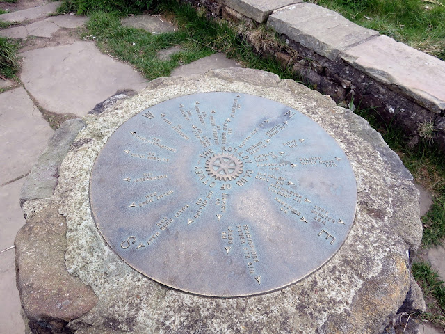
| Rotary Club toposcope |
 |
| The toposcope at Surprise View |
 |
| The summit of The Chevin |
 |
| Wharfedale panorama from The Chevin |
 |
| Looking west |
 |
| Yorkgate Quarry |
 |
| Woods at Great Dib |
 |
| Otley |


No comments :
Post a Comment