This map was created using GPS Visualizer's do-it-yourself geographic utilities.
Please wait while the map data loads...
Route: Binsey Lodge, Binsey, Binsey Lodge
Date: 31/01/2014
From: Binsey Lodge
Parking: Layby at side of road
Start Point: Layby at side of road
Region: Northern Fells
Route length: 1.6 miles (2.5km)
Time taken: 00:41
Average speed: 2.8mph
Ascent: 182m
Descent: 192m
Wainwrights on this walk:
Binsey (447m)
Additional summits: None
Other points of interest: None
Binsey (locally pronounced "Binsa") is an interesting little hill located at the very northwestern extremity of the National Park. It stands alone, detached from any of the recognised groups of fells, except for an almost indeterminate ridge that eventually finds its way to Great Cockup in the main collection of the Northern Fells. Why then was it included in Wainwright's iconic book series? For the very reason that "it is much too good to be omitted from these pages. For one thing, it is a most excellent station for appraising the Northern Fells as a preliminary for their exploration. For another, it is a viewpoint of outstanding merit. For another, it possesses a grand little summit".
Arriving just before lunchtime (and just after it had started to snow) I had chosen the quick way up to the summit, a wide, noticeable track that leads from a layby beside to road directly to the summit. There are other, longer routes that start from various places that cross the summit (including ones that pass the site of the Caermote Roman Fort) but I was aiming for a quick there and back in order to head to Dodd in the afternoon.
With the car parked and some warm clothing on to protect from the howling wind, I grabbed the bag (that I definitely did not need on this occasion) and climbed the stile that leads on to the southeastern slopes of Binsey. It is from here that I may struggle to add any further details or expansion to the fact that there is one path from here that leads (almost in a straight line) to the summit. Head down against the wind (and passing another hard soul on his way down), I plodded along to steady incline to the summit.
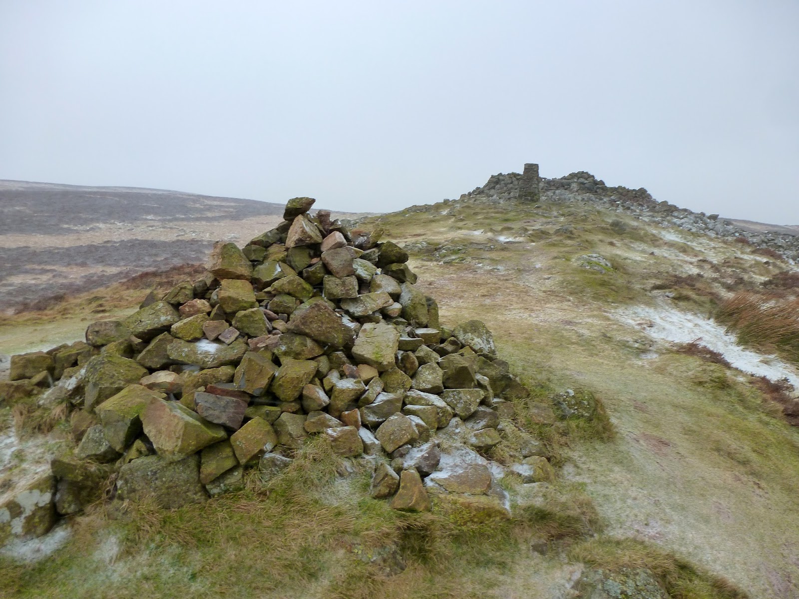
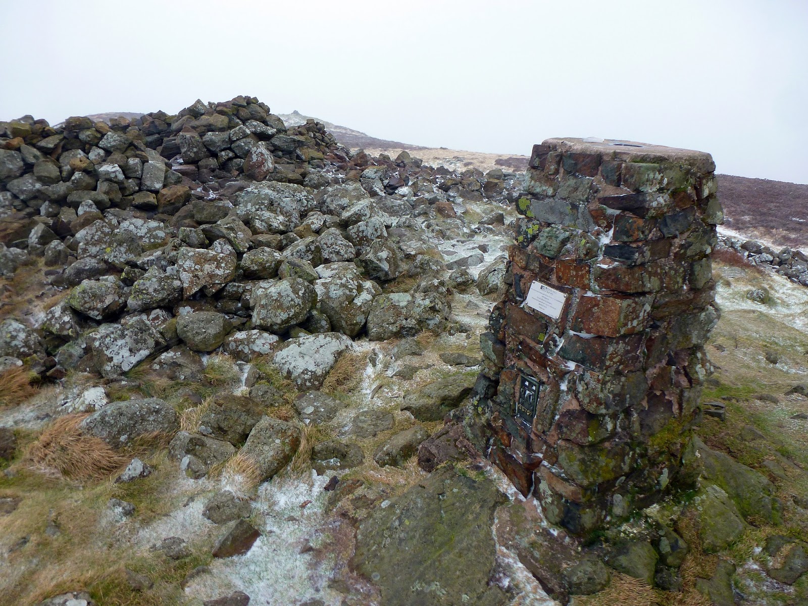
Despite the small stature of the hill, the summit is very well appointed and includes all the features you might expect from a much larger, more famous fell. Reaching the top you can find; an OS trig pillar, a number of large wind shelters, a cairn-topped subsidiary summit and (if you look hard enough) the remains of an ancient burial tumulus. I'm well informed by both the writings of Wainwright and the many pictures available on the internet that the views from Binsey are exceptionally good, given its diminutive size.
Arriving just before lunchtime (and just after it had started to snow) I had chosen the quick way up to the summit, a wide, noticeable track that leads from a layby beside to road directly to the summit. There are other, longer routes that start from various places that cross the summit (including ones that pass the site of the Caermote Roman Fort) but I was aiming for a quick there and back in order to head to Dodd in the afternoon.
With the car parked and some warm clothing on to protect from the howling wind, I grabbed the bag (that I definitely did not need on this occasion) and climbed the stile that leads on to the southeastern slopes of Binsey. It is from here that I may struggle to add any further details or expansion to the fact that there is one path from here that leads (almost in a straight line) to the summit. Head down against the wind (and passing another hard soul on his way down), I plodded along to steady incline to the summit.
 |
| The trusty steed in the layby at the start of the walk |
 |
| A well-trodden path snakes all the way to the summit |
 |
| The path begins to capture much of the snow on the way towards the summit |
Standing to the northwest of the National Park, the scene from the summit includes a fine panorama of the rest of the Northern Fells surrounding Skiddaw, a distant view of the North Western Fells around Codale, the full length of Bassenthwaite and an uninterrupted view along the coastal plain towards the Solway Firth. On a clear day, Slieve Donard is visible 115 miles away. My day, however, was not a clear day so the above information is merely what I've been able to gather from other posts across the web. The summit features were visible, but not much else. Still, with the climb being both short and relatively easy, if I'm ever around this part of the National Park on a clear day with an hour or two to spare, I'll surely be back.
With the snow being propelled to the surface as opposed to just falling, it was time to turn tail and retrace my fading footsteps back down to the car. The ascent had been straight forward, the winds blowing from the south and west, urging me from behind to the summit. Now though, they were full in the face, bringing the wintry weather with them. With the visor of my hood firmly grasped, I tramped down to the foot of the slope with Binsey firmly added to the list of accomplished peaks. Now, it was off to Dodd.
 |
| The summit cairn |
 |
| Binsey's OS pillar |
 |
| Alone at the top |
 |
| One of a number of wind shelters on the summit |
 |
| Some of the small pools had, unsurprisingly, iced over |
 |
| The cairn on the subsidiary summit |
 |
| The same trees I had passed on the way up were now taking a battering |

No comments :
Post a Comment