Monday 30 July 2018

Ingleborough & Moughton Scars

Ingleborough & Moughton Scars 30-07-2018

This map was created using GPS Visualizer's do-it-yourself geographic utilities.

Please wait while the map data loads...


Route: Austwick, Town Head, Thwaite Lane, Long Lane, Trow Gill, Gaping Gill, Little Ingleborough, Ingleborough, Swine Trail, Dales High Way, Nick Pot, Sulber, Sulber Gate, Thieves Moss, Beggar's Stile, Moughton Scars, Capple Bank, Moughton, Hunterstye, Wash Dub, Crummack Lane, Austwick

Date: 30/07/2018
From: Austwick


Parking: Roadside parking in Austwick
Start Point: Austwick
Region: Yorkshire Dale - Southern Fells

Route length: 12.8 miles (20.6km)
Time taken: 05:11
Average speed: 2.5 mph
Ascent: 811m
Descent: 815m

Summits: Ingleborough (723m), Moughton (427m)

Other points of interest: Trow Gill, Gaping Gill, Thieves Moss, Moughton Scars

Ingleborough was once thought to be the highest mountain in England, which it is far from. It is, however, one of the more impressive, thanks to its distinct profile. You could consider it my 'local' mountain - it's only a short drive from Leeds and ideal if the weather looks a bit 'iffy', as today was looking.

Ingleborough can be climbed for a number of locations, Clapham or Ribblehead are the two most popular ones. My choice this time was the quiet village of Austwick which allows you to incorporate the vast limestone pavements of Moughton Scars into a long, interesting circular walk.

Heading north out of Austwick, I followed Crummack Lane to a crossroad with Thwaite Lane, taking a left along the Pennine Bridleway. Robin Proctor's Scar painted a magnificent scene as the sun made an appearance. Behind the scar are the famed Norber Erratics, a place I visited not too long ago though you could say the weather was slightly different on that occasion.
Studrigg Scar
Robin Proctor's Scar
Thwaite Lane
Robin Proctor's Scar
Thwaite Lane
The bridleway leads to Clapham but, before reaching the village, I took to a right onto Long Lane which climbs high up alongside Clapham Beck. The track looks across at the entrance to the Ingleborough Cave, a show cave made accessible in the 1800s.
Long Lane with Simon Fell in the distance
Long Lane
The Ingleborough Cave
A short distance beyond the cave are the jaws of Trow Gill, an impressive limestone ravine. Trow Gill was possibly once an underground cavern formed by waters that now take an alternative route through the Ingleborough Cave / Gaping Gill system. At some point in time, the roof of this cavern is believed to have collapsed - Trow Gill being the suggested result (though other theories have the ravine as a glacial meltwater channel, such as Watlowes).
Trow Gill hides behind the trees
Trow Gill
Trow Gill
Trow Gill
Another mystery surrounds the ravine, that of a skeleton discovered in 1947. The remains, reported to be those of a young man, was found to have been wearing a blue shirt and tie and a grey-blue suit with red and white stripes. He was also found with a bottle of Sodium cyanide, a lethal poison, which lead to speculation that he was a German spy though German intelligence documents discovered after the war dispute this.

The ravine narrows towards the end and a few stepped rocks allow you to climb out the other side. The next port of call would be Gaping Gill.
Exiting Trow Gill
Following the footpath along the valley, it climbs briefly until a ladder stile allows you to cross onto the open countryside of Hurnell Moss. For the first time in the day, Ingleborough finally appears on the horizon and, perhaps more importantly, it was free from cloud. A short distance still, a branch off the main path leads to an area guarded by a small wooden fence. This is the realm of Gaping Gill.
The bridleway at Clapham Bottoms
Ingleborough
The path deviates towards Gaping Gill
Gaping Gill is a monstrous hole in the ground, swallowing Fell Back as it minds its own business. In fact, the chamber of Gaping Gill is approximately the size of York Minster, a fact confirmed by a laser scanned 3D model of the cave. The falling waters of Fell Beck form the highest unbroken waterfall in the country as they cascade some 98m to the floor below before disappearing into the bouldery mass only to reappear at the Ingleborough Show Cave. For the more adventurous among you, local potholing clubs set up a winch above the shaft to provide a ride to the bottom and back out again for any member of the public who pays a fee.
Fell Beck
Gaping Gill
Fell Beck disappears into the hole....
Now, on to the main event, Ingleborough itself. An approach from Gaping Gill takes you up the gentle southern slopes, a fairly easy route by most standards. The path, often flagged with large slabs to prevent it from disappearing into the mire, guides you all the way up the hillside until you reach Little Ingleborough, a southern prominence and a fine vantage point overlooking Clapham and the River Wenning.
Path to Little Ingleborough
Pen-y-Ghent
Clapham Bottoms panorama
Simon Fell
Ingleborough from Little Ingleborough
The final climb up Ingleborough stretches out ahead of you, preceded by a flat ridge leading from Little Ingleborough - an easy walk if ever there was one. As you approach the flanks of the final climb, the path skirts around the edge of Swire Gill Head before starting up the slopes. A short moment or two later and you're on top of the flat plateau that characterises the mountain.
Little Ingleborough
Clapham Bents
On the top of Ingleborough, the remains of an old walled enclosure have been discovered inside which foundations of Iron Age huts have been found, giving rise to the second part of Ingleborough's name - 'burh', meaning 'a fortified place'. Oddly, Ingleborough was also once thought to be the highest mountain in the country, despite actually being lower than the neighbouring Whernside.

The summit is adorned with that most characteristic of objects, the OS trig pillar, along with a substantial cross shelter and a few large piles of stones. The views from around the summit are spectacular. On a clear day, they stretch away in all directions and are especially good viewed to the north and the west.
Ingleborough's summit
Cairn and wind shelter
Ingleborough's shelter
Whernside
A number of paths lead from the summit and the one I would be following is the most trodden as it is the typical Yorkshire Three Peaks route between Ingleborough and Horton-in-Ribblesdale. It descends easily around the top of Swire Head Gill and across The Allotment. The slopes here are riddled with potholes, some more dramatic than others such as Juniper Gulf, Nick Pot and Sulber Pot though you have to venture off-piste to find them.
The Arks
Simon Fell
Looking back to Ingleborough
The path at Fell Beck Head
Looking across to Pen-y-Ghent
Pen-y-Ghent
The area known as The Allotment
Sulber Nick
The limestone pavement at Sulber
The path enters Sulber, the beginnings of the large area of limestone pavement between Ingleborough and Pen y Ghent. At a crossing of paths, I left the main Three Peaks route and made my way to Sulber Gate, an old gate nestled in amongst the drystone walls. Passing through the gate leads down to Thieves Moss and Moughton Scars.
Leaving the Three Peaks route
Sulber gate
Thieves Moss
The last time I was here everything was shrouded in a thick mist, not so today. The limestone amphitheatre around Thieves Moss is magnificent. Moughton and specifically Moughton Scars is a vast and impressive area of limestone pavement. Perhaps not as perfect as the pavement found at Malham Cove but certainly more expansive. The limestone pavement in the Yorkshire Dales, again the result of past glaciation, is amongst the best in the world.
Moughton Scars
Moughton Scars
Beggar's Stile
Ignoring Beggar's Stile, a path, at times indistinct, follows the edge of Moughton Scars, sometimes passing between the limestone blocks, other times heading straight across. After a while, the path reaches a breach in the ramparts of Moughton Scars at Capple Bank, which offers an easy way down into Crummack Dale. Instead of following the path down, I remained on the escarpment, finding my way to the Moughton trig pillar, just before the arrival of threatening-looking showers.
Moughton Scars
Moughton Scars
Moughton Scars
Ingleborough
Showers over the Forest of Bowland
Cairn at Capple Bank
Austwick Beck Head and Capple Bank
A slight change in scenery
Ingleborough over Crummack Dale
Moughton trig pillar
I'm sure it's possible to carry on south-east along the ridge and find a way down, though there is nothing marked on the map and a moat of private land, crags and quarries bounds the Access Land of the fells. Instead of wandering aimlessly around, I retraced my steps west, following a tongue of Access Land down to a walled lane at Hunterstye. Looking back, I could see routes down through the crags of Studrigg Scar would have been tricky.
Approaching showers
Heather at Moughton
Studrigg Scar
By the time I reached the walled lanes of Crummack Dale, it was raining heavily. The path led me to Austwick Beck and Wash Dub. Shepherds used to dam Austwick Beck in at spring and autumn to create a pool, within which sheep were washed to remove parasites. This went on until the 1930s. The clapper bridge was restored by the Yorkshire Dales Millennium Trust.
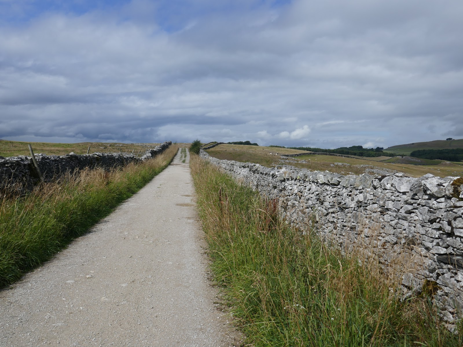
Walled lane in Crummack Dale
Austwick Beck
Wash Dub
Crossing the bridge led me out into the open fields of Sowerthwaite Farm (including one occupied by a large bull) and onto Crummack Lane. The lane leads around Norber Brow and back down into Austwick village bringing a very satisfying hike to a close.
More rain incoming

No comments :

Post a Comment