
This map was created using GPS Visualizer's do-it-yourself geographic utilities.
Please wait while the map data loads...
Route: Millbeck, Whitegill Ravine, Blea Rigg, Castle How, Swinescar Hause, Swinescar Pike, Lang How, Silver How, Megs Gill, Chapel Stile, Robinson Place, Millbeck
Date: 22/01/2017
From: Millbeck Farm
Parking: Stickle Ghyll
Start Point: Millbeck Farm
Region: Central Fells
Route length: 6.4 miles (9.5 km)
Time taken: 03:28
Average speed: 1.3 mph
Ascent: 584m
Descent: 587m
Wainwrights on this walk: Blea Rigg (541m), Silver How (395m)
Additional summits: Castle How (500m), Swinescar Pike (411m), Lang How (414m)
Other Points of Interest: Whitegill Ravine, Megs Gill
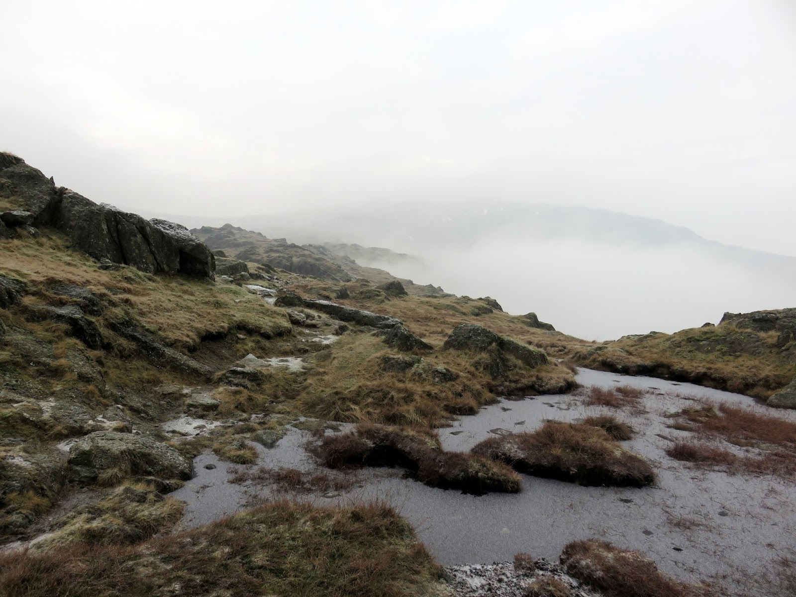
Cloud and mist were the order of the day today, though, in hindsight, this turned out to be a very enjoyable walk with some atmospheric scenes throughout the day. The Blea Rigg ridge is often an overlooked walking area with more people opting for the attractive Langdale Pikes or the famous Helm Crag. This leaves it free for exploration without crowds.
We set off from Great Langdale, using the dry valley of Whitegill Ravine to get from the valley floor up onto the ridge. You can access it by following a path from the rear of the Old Dungeon Ghyll Hotel, behind Millbeck Farm and passing through some woodland to its base. There, it runs directly up onto the Blea Rigg ridge beneath the watchful Whitegill Crag. It's a much more agreeable route than the Stickle Ghyll path, which can get very busy. In the ravine, we didn't see a soul.
 |
| A misty morning in Great Langdale |
 |
| Whitegill Ravine |
 |
| Side Pike through the gloom |
 |
| Whitegill Ravine |
 |
| A tree stands around halfway up the ravine |
 |
| Whitegill Ravine |
 |
| Exiting the top of the ravine |
 |
| The summit of Whitegill Crag |
 |
| Raw Pike pokes out of the mist |
 |
| The rocks of Blea Rigg |
 |
| The summit comes into view |
 |
| Mist rolls up from Great Langdale |
 |
| An otherworldly landscape |
 |
| Blea Rigg's summit |
 |
| Looking back to Blea Rigg |
 |
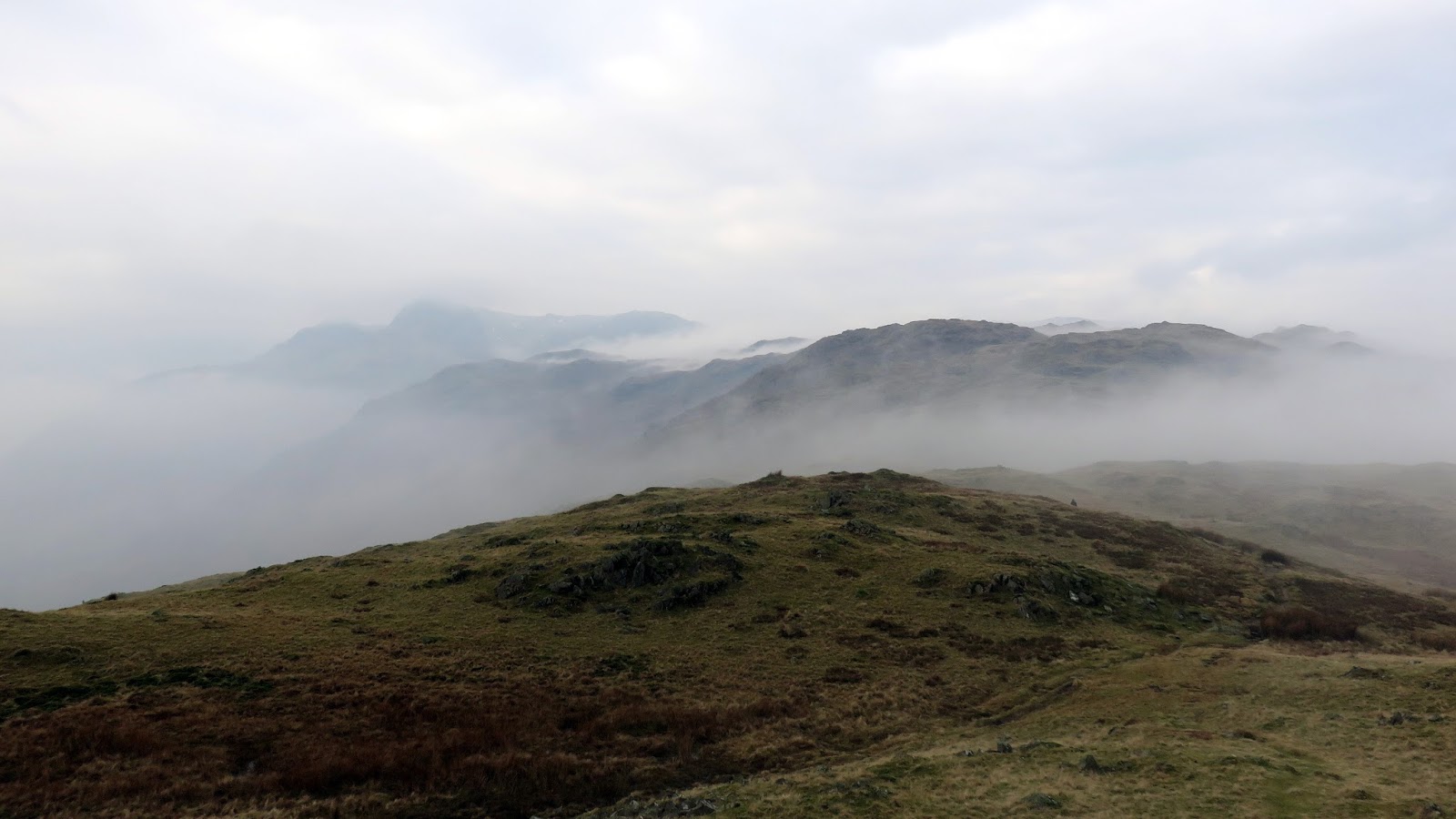
| Clouds fill Far Easedale |
 |
| Blea Rigg |
 |
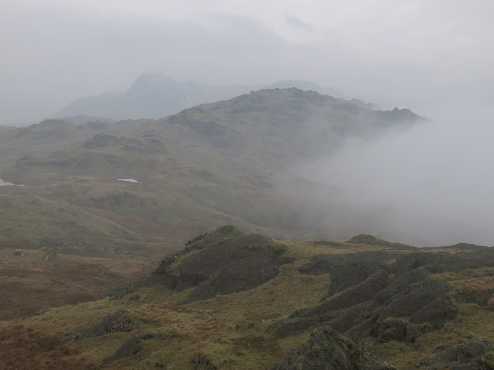
| The Langdale Pikes |
 |
| Great Castle How |
 |
| The Blea Rigg ridge |
 |
| Side Pike and Pike O'Blisco |
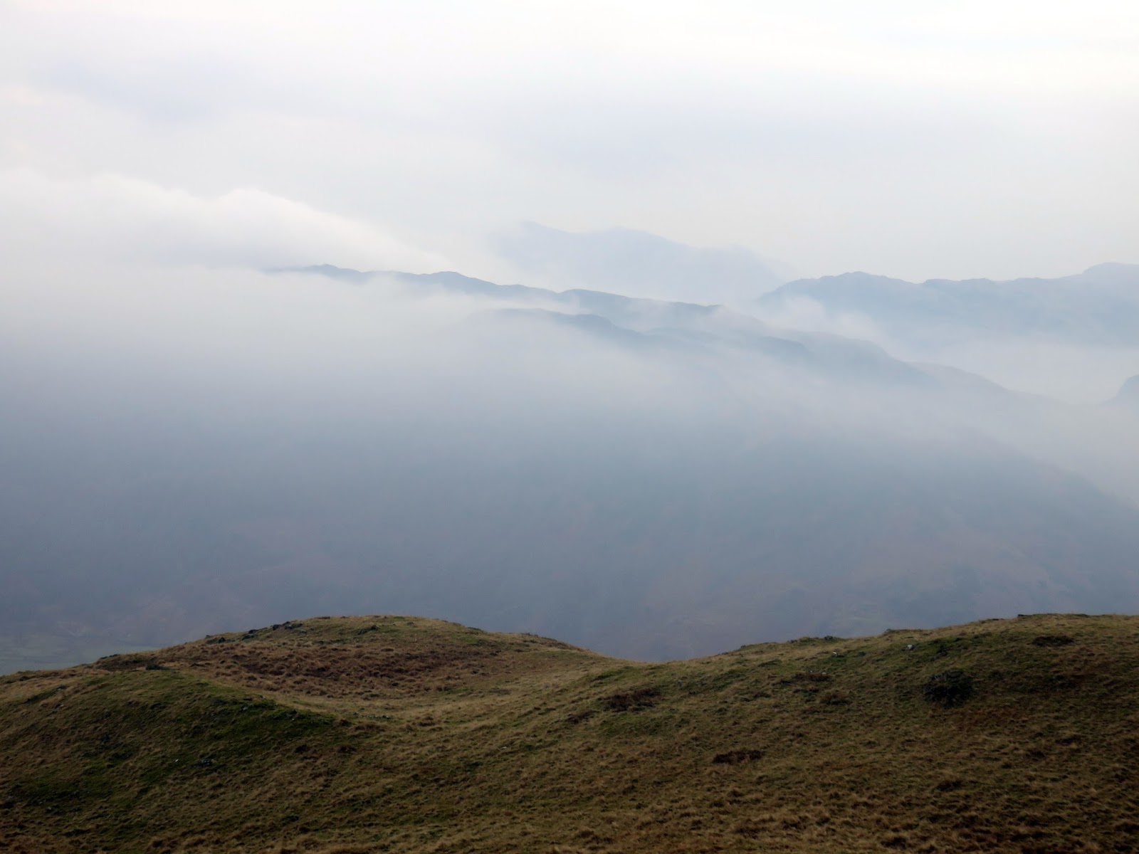 |
| Clouds envelop the fells |
 |
| Tarns below Lang How |
 |
| The view from Lang How |
 |
| Looking back along the ridge from Silver How |
 |
| Silver How's summit |
 |
| Grasmere and Rydak |
 |
| Grasmere |
 |
| Megs Gill |
 |
| Megs Gill |
 |
| Megs Gill |
 |
| Chapel Stile |
 |
| Chapel Stile |
 |
| The Langdale Pikes |
No comments :
Post a Comment