
This map was created using GPS Visualizer's do-it-yourself geographic utilities.
Please wait while the map data loads...
Route: Curbar Gap, Curbar Edge, Froggatt Edge, Stoke Flat, White Edge, Big Moor, Swine Sty, Bar Brook, Wellington's Monument, Basloe Edge, Curbar Gap
Date: 30/12/2017
From: Curbar Gap
Parking: Curbar Gap
Start Point: Curbar Gap
Region: Peak District - Dark Peak
Route length: 7.4 miles (11.9 km)
Time taken: 02:59
Average speed: 2.5 mph
Ascent: 254m
Descent: 256m
Summits: White Edge (Big Moor) (366m)
Other points of interest: Curbar Edge, Froggatt Edge, Baslow Edge, Wellington's Monument
I've been spending some more time in the Peak District recently, exploring some new areas in the north of the national park. Today I'd be above the village of Froggatt on Curbar Edge and the neighbouring Froggatt edge. Additionally, the trip would take in White Edge and the small Baslow Edge for an ideal day out in the Dark Peak.
These edges are quieter than the illustrious Stanage Edge but are no less spectacular and command fine views over the Derwent Valley below. The hike begins at the car park at Curbar Gap - it's not large so arrive early to avoid disappointment.
 |
| The beginnings of Curbar Edge |
 |
| Curbar Gap |
 |
| The magnificent Curbar Edge |
 |
| Curbar Gap and Baslow Edge from Curbar Edge |
 |
| Baslow Edge |
 |
| Easy walking along the top of Curbar Edge |
 |
| Pinnacles on Curbar Edge |
 |
| Curbar Edge and the Derwent Valley |
 |
| Mists and rain swirl over Curbar Edge |
 |
| Curbar Edge |
 |
| Curbar Edge |
 |
| Curbar Edge |
 |
| The Derwent Valley |
 |
| Curbar Edge |
 |
| Curbar Edge |
 |
| Curbar Edge |
 |
| Froggatt Edge from Curbar Edge |
 |
| The beginnings of Froggatt Edge |
 |
| The path winds between some interesting rocks |
 |
| Woods on Froggatt Edge |
 |
| Froggatt Edge |
 |
| Grindleford |
 |
| The northern end of Froggatt Edge |
 |
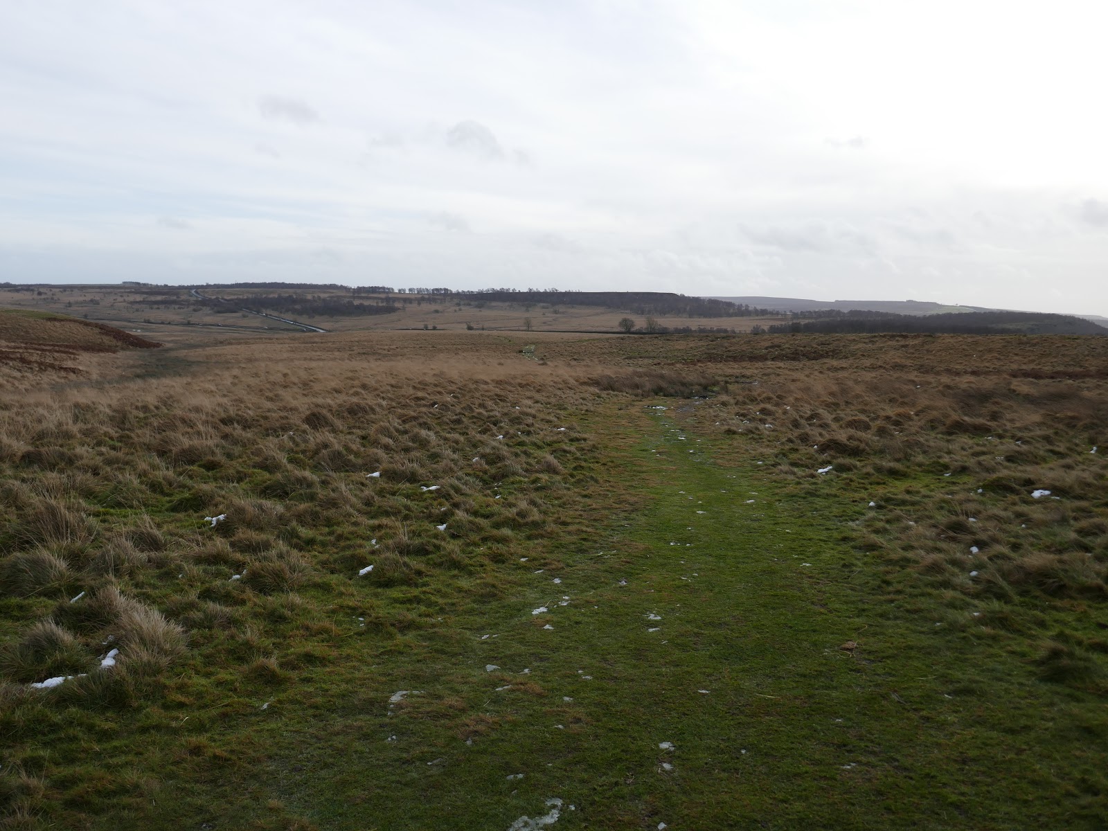
| Stoke Flat leading towards White Edge |
I emerged on the other side having ended up nearly waist-deep in what can only be described as a small lake. Luckily, other than wet legs and feet no harm was done, particularly to my phone which had been in my trouser pocket. Things could have been much wetter had I not been wearing a pair of gaiters.
 |
| Views to a distant Hope Valley |
 |
| Eyam Moor |
 |
| White Edge |
 |
| White Edge |
 |
| White Edge |
 |
| Big Moor |
 |
| Big Moor trig pillar |
 |
| White Edge above Stoke Flat |
 |
| Stones at Swine Sty |
 |
| Path towards Blake Brook |
 |
| Looking back to White Edge |
 |
| Bridleway |
 |
| Field sculpture |
 |
| An old milepost stands on the route |
 |
| Detail of the carving on the milepost |
 |
| Wellington's Monument |
 |
| Wellington's Monument |
 |
| Wellington's Monument |
 |
| Wellington's Monument |
 |
| Derwent Valley |
 |
| Eagle Stone |
 |
| Baslow Edge |
 |
| Baslow Edge and Curbar Edge |
 |
| Curbar Edge |
 |
| Curbar Edge and the Derwent Valley |
 |
| Baslow Edge |
 |
| Curbar Edge |
 |
| Curbar Edge |
No comments :
Post a Comment