
This map was created using GPS Visualizer's do-it-yourself geographic utilities.
Please wait while the map data loads...
Please wait while the map data loads...
Route: Bondi Beach, Hugh Bamford Reserve, Raleigh Reserve, Rodney Reserve, Diamond Bay, Christison Park, Macquarie Lighthouse, The Gap, Gap Park, Camp Cove, South Head, Hornby Lighthouse, Camp Cove, Green Point Reserve, Watsons Bay
Date: 22/12/2019
From: Bondi Beach
Parking: N/A
Start Point: Bondi Beach
Finish Point: Watsons Bay
Region: Sydney
Route length: 7.0 miles (11.3km)
Time taken: 03:07
Average speed: 2.4mph
Ascent: 277m
Descent: 282m
Points of Interest: Bondi, Diamond Bay, The Gap, South Head
Bondi and Manly are arguably Sydney's two most famous beaches. While they are only 10km apart, they sit on either side of the vast entrance to Sydney Harbour. When I arrived in Australia, I harboured an ambition to hike the length of the Sydney Harbour foreshore and the introduction of the Bondi to Manly walking track has facilitated just that.
 |
| The Bondi to Manly branding features the aboriginal depiction of a whale |
After climbing off the bus opposite the Bondi Lifeguard tower (the official starting point of the B2M walk), we set off east along the promenade above the beach, passing the Bondi Pavilion. The beach at Bondi is regarded as one of the best in the world though I don't see what elevates it above other beaches in the area. That said, I wouldn't regard myself as a beach lover so perhaps I'm not the best to offer an opinion on the matter. Bondi is an Aboriginal word meaning water breaking over rock. It has been spelt a number of different ways over time; Boondi, Bundi, Bundye.
 |
| The Bond lifeguard tower |
 |
| A quiet Bondi Beach |
 |
| Bondi Beach and North Bondi |
We continued along the road, now Military Road, as it runs parallel to the Bondi golf course. The course is home to a tall, white column which, while impressive, is no more than a sewer vent shaft built in 1910. Despite this, the vent shaft is an important landmark for a great distance is likely to be unique in New South Wales for its use, design and construction. Additionally, aboriginal rock carvings can be found here if you know where to look.
 |
| The impressive sewer vent |
 |
| North Bondi |
 |
| Our first glimpse of the cliffs at Raleigh Reserve |
 |
| The sewer vent dominates the North Bondi cliffs |
 |
| Rodney Reserve |
 |
| The beginning of the Federation Cliff Walk |
 |
| The thin strip of grass above the cliffs is Lancaster Road Reserve |
 |
| The sandstone cliffs |
 |
| Diamond Bay |
 |
| Diamond Bay |
 |
| The top of Rosa Gully |
 |
| Dover Heights |
 |
| Dover Heights |
 |
| Macquarie Lighthouse |
 |
| Macquarie Lighthouse |
 |
| Signal Hill Battery |
 |
| Signal Hill Battery |
 |
| Gap Park |
 |
| Sydney Harbour |
 |
| The Dunbars anchor |
 |
| The Gap |
 |
| Gap Bluff Walking Track |
 |
| The Gap |
 |
| Looking across the harbour entrance to North Head |
 |
| Camp Cove |
 |
| Lady Bay |
 |
| The lighthouse keepers cottage |
 |
| Hornby Battery |
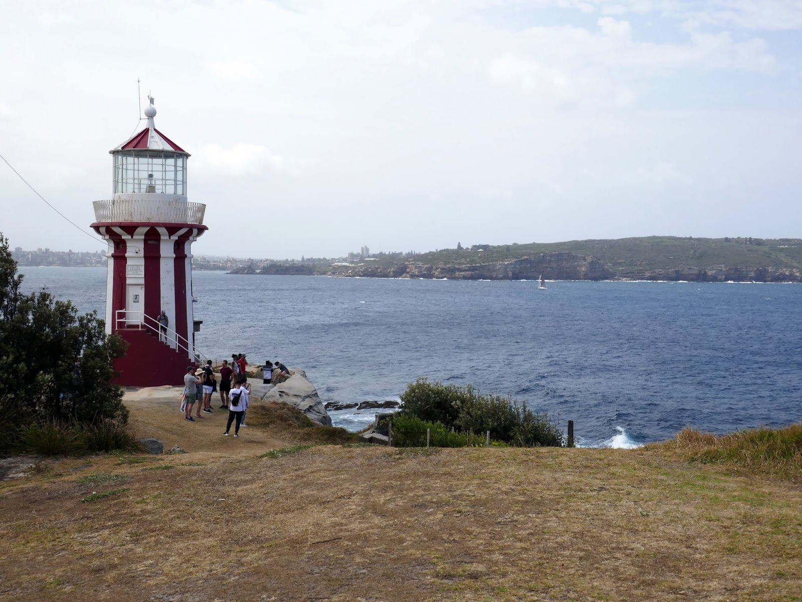 |
| Hornby Lighthouse |
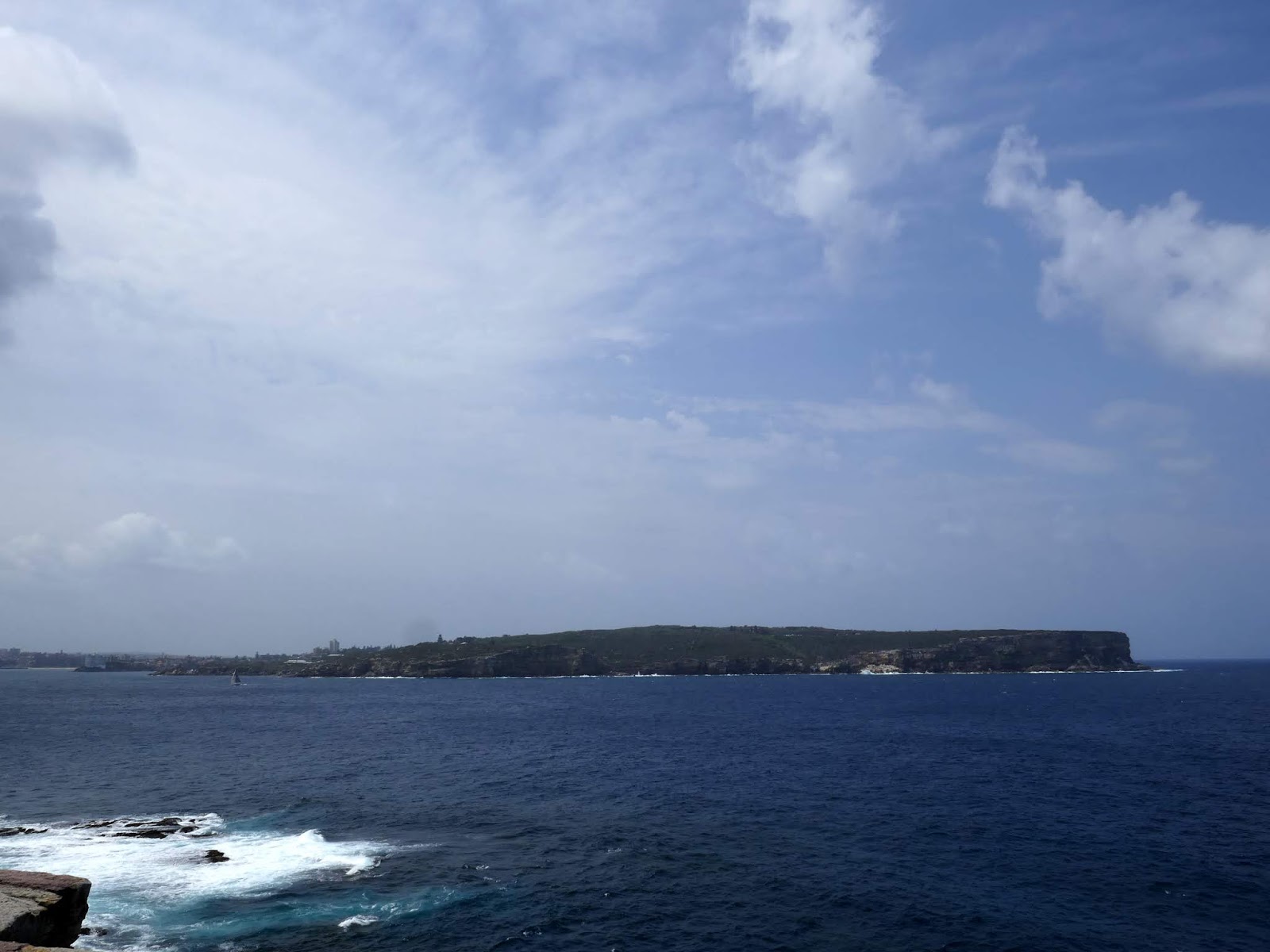 |
| North Head |
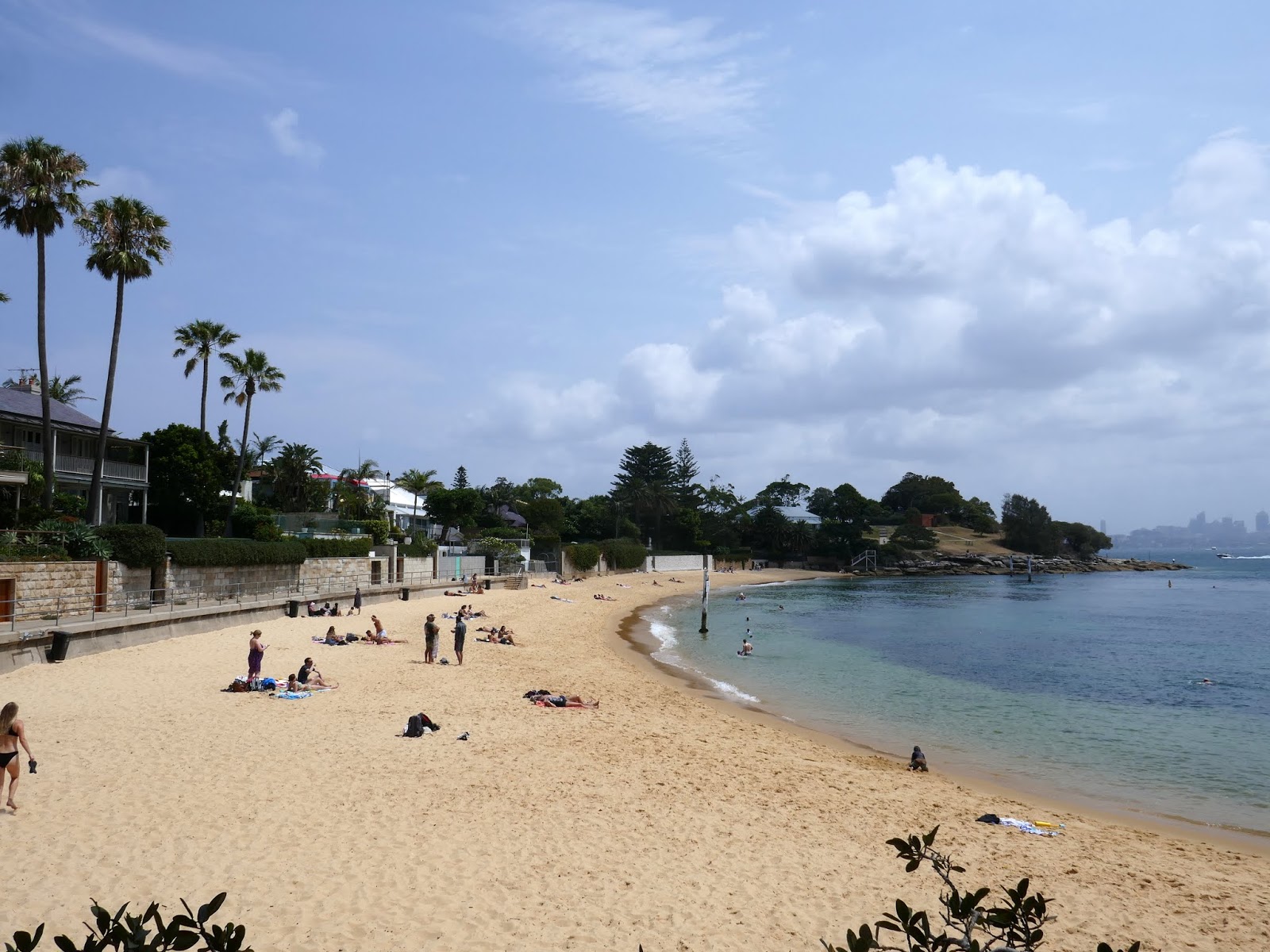 |
| Camp Cove |
 |
| Camp Cove |
 |
| Green Point |
 |
| Green Point |
 |
| Watsons Bays |
No comments :
Post a Comment